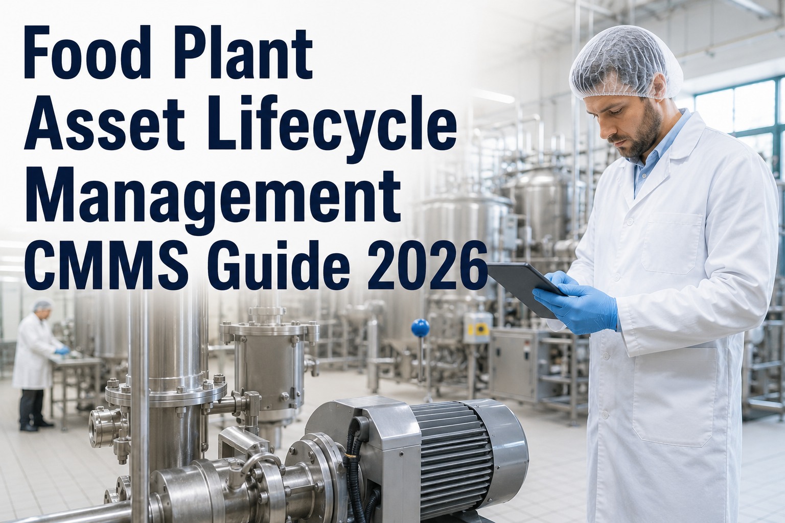
A meat processing facility in Nebraska spent $180,000 on maintenance-related production delays in a single year—primarily because technicians couldn't locate equipment, maintenance documentation referenced outdated layouts, and sanitation zone boundaries were unclear. After deploying 3D scanning robots to document their entire facility, they created accurate digital twins linking every piece of equipment to its exact location, maintenance history, and sanitation zone classification. Work order completion time dropped 34% when technicians could visualize equipment locations before leaving the maintenance shop. Sign up for Oxmaint to connect spatial data with your maintenance workflows.
Best 3D Scanning Robots for Food Plant Layout and Maintenance Planning 2026
Autonomous scanning robots capture millimeter-accurate facility layouts, creating digital twins that link equipment assets to spatial locations, maintenance zones, and sanitation boundaries—transforming how maintenance teams plan and execute work.
Why 3D Scanning Transforms Maintenance
Traditional facility documentation relies on outdated CAD drawings, incomplete equipment lists, and tribal knowledge that walks out the door when experienced staff retire. Food facility mapping with autonomous robots creates living digital twins that stay current and connect directly to CMMS. Book a demo to see spatial-aware maintenance in action.
Complete Facility Digital Twin
3D scanning robots capture every surface, pipe, conduit, and piece of equipment—creating a navigable digital replica where maintenance data lives in spatial context.
Equipment Localization
Click any asset in CMMS to see its exact location in 3D space—no more hunting for equipment.
Sanitation Zone Mapping
Visualize hygiene zones with color-coded boundaries showing cleaning requirements and access restrictions.
Maintenance Planning
Plan equipment installations and modifications virtually before moving a single piece of hardware.
As-Built Documentation
Accurate facility records for compliance audits, insurance, and contractor coordination.
Leading 3D Scanning Platforms 2026
Several platforms offer plant documentation robot capabilities for food manufacturing environments. Platform selection depends on facility size, accuracy requirements, and integration needs. Sign up for Oxmaint to connect any scanning platform to your maintenance workflows.
NavVis VLX
NavVisSpot + Leica
Boston DynamicsMatterport Pro3
MatterportSanitation Zone Mapping
Sanitation zone mapping through 3D scanning creates visual boundaries that help maintenance teams understand hygiene requirements before entering work areas. Each zone carries different cleaning protocols, access restrictions, and documentation requirements.
Food Plant Hygiene Zones
Raw Material Zone
Receiving, raw storage, initial handling areas requiring strict contamination controls
High RiskProcessing Zone
Active production areas with product exposure requiring enhanced sanitation
Medium RiskPackaging Zone
Secondary packaging and palletizing with standard hygiene protocols
StandardShipping Zone
Finished goods storage and loading with basic hygiene requirements
Low RiskScan-to-CMMS Integration Workflow
Facility Scan
Robot captures complete facility geometry with millimeter accuracy
Asset Tagging
Equipment linked to spatial coordinates in digital twin model
Zone Definition
Sanitation zones mapped with cleaning and access requirements
CMMS Integration
Oxmaint receives spatial data for location-aware maintenance
Implementation Checklist
Frequently Asked Questions
Know Exactly Where Everything Is
3D scanning creates the spatial foundation for truly efficient maintenance. Oxmaint connects that spatial data to your equipment records, work orders, and compliance documentation—so every asset has a place and every place is documented.