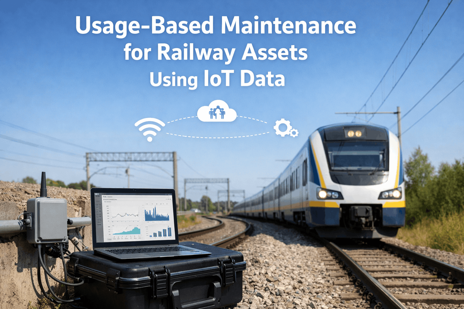
GIS Mapping and Asset Tracking for Railways Maintenance
By Taylor on March 11, 2026
On a freezing January morning in 2025, a Class 1 freight railroad's busiest intermodal corridor ground to a halt when a switch heater failure at a critical junction froze three turnouts solid — trapping 14 trains across 180 miles of mainline track. The cascading delays cost $3.7 million in service penalties, crew re-scheduling, and locomotive repositioning over 36 hours. The post-incident investigation uncovered a failure chain that began not with the switch heater itself, but with an asset management system that had quietly broken down months earlier. The switch heater's gas supply line had been flagged during a routine drone inspection seven months prior — a finding logged in a contractor's portal that was never integrated with the railway's GIS map overlays. The track inspector who later walked the junction had no mobile access to that drone data. Meanwhile, a robot inspection of the adjacent tunnel had measured progressive water ingress near the same junction — data that lived in an isolated digital twin model, disconnected from the railroad's work order automation tools. The switch heater failure, the unflagged gas line deficiency, and the progressing water anomaly were three symptoms of a single root cause: deteriorating drainage at a junction built on expansive clay soil. A CMMS that connected drone inspection workflows, AI vision defect detection, and predictive insights to work orders would have correlated these signals and escalated the junction to Priority-1 rehabilitation at least five months before the catastrophic freeze. Railways ready to close the gap between disparate inspection data and public infrastructure maintenance execution can schedule a demo to see how Oxmaint eliminates the blind spots that cause service-crippling failures.
Railway maintenance operations generate enormous volumes of inspection data from track geometry cars, rail flaw detectors, drone surveys, bridge inspections, and daily track patrol reports — but in most public works organizations, this data lives in disconnected silos that prevent the cross-system correlation needed for true predictive maintenance. An integrated asset health dashboard transforms GIS mapping and asset tracking for railways maintenance from a reactive, isolated operation into a predictive, data-connected discipline where every AI analytics finding automatically generates prioritized work orders, mobile crews execute tasks with mobile inspections and checklists, and every action creates an auditable compliance trail that satisfies government infrastructure requirements. Railways implementing integrated CMMS platforms with IoT monitoring report 35-50% reductions in unplanned service disruptions while cutting compliance documentation time by 65%. Start your free trial today.
Railway Technology 2026
The State of GIS & Asset Tracking in Railway Operations
70%
of railway maintenance organizations still rely on static maps disconnected from live IoT monitoring data
45%
of critical track defects had been captured by drone inspection but never converted into completed work orders
80%
reduction in defect-to-repair response time when AI vision defect detection feeds directly into a CMMS
Source: Government Infrastructure Technology Reports & Public Works Benchmarking Studies 2024-2025
Modern railway systems demand asset management operations that are spatially aware, accountable, and fully traceable. Drones can survey miles of track in hours using automated route planning and mission logs, and robots can perform detailed inspections of confined spaces — but these technologies only deliver value when their data flows into an integrated CMMS. This integration connects GIS map overlays with digital twin models, tracking execution through mobile checklists and maintaining the audit trails and documentation that public infrastructure regulators require.
The GIS-Integrated Railway Maintenance Lifecycle
Effective GIS mapping and asset tracking follows a structured lifecycle where geospatial data flows seamlessly from inspection through execution to compliance documentation. Each phase — from risk scoring and asset criticality analysis to audit-ready records — requires integration between field operations, engineering, and management teams. Operating these phases in disconnected systems creates the gaps where critical infrastructure defects fall through the cracks.
GIS & AI-Integrated Railway Maintenance Framework
From drone surveys to audit-ready documentation
01
Drone & AI Inspections
Drone inspection workflows utilize automated route planning and mission logs to capture imagery, while AI vision defect detection identifies anomalies.
02
Digital Twin & SHM
Inspection data populates digital twin models and GIS map overlays, enabling risk scoring and asset criticality assessment across the network.
03
Predictive Insights to Work Orders
AI-scored defects auto-generate prioritized work orders via CMMS integration, dispatching crews with mobile inspections and checklists.
04
Audit Trails & Documentation
Every action—detection, spatial mapping, execution, sign-off—is timestamped, geo-tagged, and archived for internal reviews and regulatory submissions.
Implementing an asset health dashboard that manages the complete inspection-to-repair-to-compliance cycle ensures that a rail flaw detected by a drone on Monday is mapped in the digital twin by Tuesday, executed by a mobile crew on Wednesday, and appears in a fully documented audit trail by Thursday. No disconnected GIS files. No defects forgotten. No compliance gaps. Book a demo to see this workflow in action.
Siloed Data vs. GIS-Integrated Asset Tracking
Public works organizations face a clear inflection point: continue relying on static maps, disconnected inspection portals, and manual work order routing — or integrate every IoT monitoring source into a CMMS that automates the entire defect-to-repair pipeline. The operational, safety, and compliance differences are transformative.
Siloed Data Operations vs. GIS-Integrated Tracking
S
Siloed Data Operations
Drone inspection data lives in separate contractor portals
Work orders lack precise spatial context or GIS overlays
No automatic risk scoring — supervisors triage from static lists
Digital twin models (if they exist) are disconnected from daily planning
Audit preparation requires weeks of manual record assembly
Institutional knowledge lost when experienced staff retire or transfer
No cross-referencing between spatial anomalies or historical trends
Slow, Fragmented & Risky
G
GIS-Integrated Tracking
AI vision defect detection automatically maps findings via GPS
Work order automation translates predictive insights into action
Risk scoring and asset criticality dynamically updated in real-time
Digital twin models and GIS map overlays unified in one platform
Audit trails and documentation generated instantly with spatial evidence
Complete asset history preserved digitally regardless of staff changes
AI correlates multi-source geospatial data to predict compound failure risks
Fast, Unified & Compliant
The critical differentiator is not mapping alone — it is integration. Uploading a shapefile to a viewer does not create intelligence. True CMMS integration means every data source — drone survey imagery, robot inspection data, and sensor telemetry — feeds a single decision engine that visualizes asset health, prioritizes work, dispatches crews, and documents compliance automatically.
GIS Integration Impact on Railway Operations
Measured improvements from railways with fully integrated spatial workflows
80%
Faster Defect Location
GIS Routing vs. Milepost Guessing
65%
Less Compliance Prep Time
Spatial Audit Trails vs. Manual
42%
Fewer Service Disruptions
Predictive Maintenance vs. Reactive
100%
Inspection Traceability
Drone Log → Work Order → Close-Out
GIS Tracking Across Railway Maintenance Domains
Railway infrastructure encompasses diverse domains — track and right-of-way, bridges and structures, signals and communications, and rolling stock facilities. Each domain generates distinct spatial data and requires specialized work order automation, but all must feed a unified asset health dashboard to enable cross-domain correlation. Book a demo to see domain-specific GIS workflows.
Railway Maintenance Domains Under Unified GIS Tracking
Track & Right-of-Way
Drone inspection workflows, AI vision defect detection, and ballast inspections—all feeding GIS map overlays to provide precise location data for automated work orders.
Bridges & Structures
Robot inspections of confined spaces, drone surveys of bridge pylons, and digital twin models that enable precise risk scoring and asset criticality assessment.
Signals & Communications
Signal system diagnostics and IoT monitoring mapped geospatially to track communication network health, providing predictive insights to work orders and real-time fault alerting.
Facilities & Stations
Platform health monitoring, escalator inspections, and station equipment tracking—managed through spatial work orders and mobile checklists in the same CMMS platform.
ROI: Integrated vs. Disconnected GIS Maintenance
Investing in CMMS integration with GIS mapping delivers substantial returns — but the savings come from connecting data to action, not just visualizing it. Disconnected maps generate intelligence that sits unactioned. An integrated system generates predictive insights to work orders that prevent failures, reduce search times for field crews, extend asset life, and satisfy regulators with comprehensive spatial digital evidence.
ROI: Siloed Data vs. GIS-Integrated Tracking
Based on a regional public transit network (500 track-miles, 120 bridges, 800 signal assets)
Siloed Data Operations
Inspection Admin & Data Entry$380,000
Field Crew Location Search Time$220,000
Emergency Repair Responses$850,000
Service Disruption Penalties$620,000
Annual Cost: $2,070,000
VS
GIS-Integrated Tracking
CMMS & GIS Platform Integration$185,000
Reduced Admin & Search Time$95,000
Training & Change Management$55,000
Prevented Disruption Savings($510,000)
Net Savings: $1,735,000
The secondary financial benefits compound these direct savings. Railways with documented GIS maintenance programs report lower insurance premiums, stronger positions in government infrastructure audits, improved grant competitiveness for capital projects, and the institutional knowledge preservation that protects operations when experienced staff retire.
Turn Spatial Data Into Maintenance Action
Stop losing critical defects between separate maps and spreadsheets. Oxmaint connects AI vision defect detection, route planning and mission logs, and IoT monitoring into a single CMMS that auto-generates predictive insights to work orders — with mobile execution and audit trails and documentation.
Integrating railway maintenance operations into a unified GIS-enabled CMMS is a progressive journey. It starts with digitizing spatial data and connecting it to work order generation, evolves through mobile field execution with digital checklists, and matures into digital twin models that auto-generate predictive maintenance strategies.
Railway GIS Integration Maturity Model
Level 1
Map & Connect (Months 1-4)
Spatial Asset RegistryBasic GIS Map OverlaysGeo-Tagged Work OrdersDrone Data Ingestion
Digital Twin ModelsDynamic Risk ScoringAsset Criticality ForecastingEnterprise Asset Health Dashboard
Start by registering every maintainable asset on a GIS map—every track segment, bridge, and signal device. Establish drone inspection workflows so spatial findings flow directly into work order queues. As the system matures, enable predictive analytics and digital twin simulations that identify degradation trends across geospatial data sources and auto-schedule interventions before service disruptions occur.
Unified Spatial Maintenance Across the Enterprise
Public infrastructure maintenance spans diverse asset categories. A unified CMMS with robust GIS capabilities ensures that every maintenance domain operates from the same spatial system of record, applying consistent standards and creating enterprise-wide visibility that enables smarter resource allocation and predictive maintenance.
Unified Geospatial Maintenance Intelligence
One GIS-enabled CMMS for every public works asset and inspection source
Track & Rail
Bridges & Tunnels
Signals & PTC
Digital Twins
Grade Crossings
Stations & Yards
Drone Surveys
Robot Inspections
Predictive Insights to Work Orders
AI analytics correlate drone inspection workflows, AI vision defect detection, and IoT monitoring to predict failures and auto-generate prioritized work orders via the CMMS integration.
Mobile Inspections & Checklists
Field crews execute inspections on mobile devices utilizing GIS map overlays, geo-tagged digital checklists, photo/video capture, and real-time sync — eliminating lost defect locations.
Audit Trails & Documentation
Every spatial finding, route planning log, execution step, and sign-off is geo-timestamped and archived — producing instant audit packages and regulatory submissions for government infrastructure.
Unify your geospatial maintenance operationsGet Started →
By managing tracks, bridges, signals, and all spatial inspection technologies in one system utilizing risk scoring and asset criticality, public works organizations gain enterprise-wide visibility. Book a demo to see unified GIS railway maintenance in action.
Transform Railway Maintenance With Spatial Intelligence
Join forward-thinking railway operators using Oxmaint to integrate drone and robot inspection data, digital twin models, and GIS map overlays into a single CMMS — with automated work orders, mobile checklists, and spatial audit trails that keep trains running and regulators satisfied.
How does AI vision defect detection work with drone inspection workflows?
Oxmaint ingests aerial imagery captured during drone surveys (using automated route planning and mission logs). The platform's AI vision algorithms automatically analyze this imagery to identify anomalies such as missing tie plates, vegetation encroachment, or structural cracks. These findings are immediately geo-tagged and projected onto GIS map overlays, generating predictive insights to work orders based on configured risk scoring and asset criticality.
What is the advantage of using a Digital Twin for railway maintenance?
A digital twin provides a dynamic, virtual representation of your physical public infrastructure. By integrating real-time IoT monitoring data and historical CMMS records into digital twin models, public works agencies can perform advanced risk scoring and asset criticality analysis. This allows engineers to simulate degradation scenarios and optimize predictive maintenance strategies before a physical failure occurs, transforming the asset health dashboard from a monitoring tool into a proactive planning engine.
How do mobile inspections and checklists improve field operations?
Field crews access geo-located work orders via a mobile app that utilizes the same GIS map overlays used in the back office. This ensures they navigate to the exact spatial coordinates of a defect. The app provides customized mobile inspections and checklists that mandate specific data collection (e.g., photos, severity ratings) before a work order can be closed. This guarantees that audit trails and documentation are standardized, spatially accurate, and immediately synced back to the central CMMS integration layer.
Can the system integrate existing GIS data and third-party inspection logs?
Yes. Oxmaint's CMMS integration supports importing existing shapefiles, geoJSON data, and third-party drone or robot inspection logs. This ensures that historical route planning and mission logs, previous AI vision defect detection results, and established GIS map overlays are preserved and unified within the new predictive maintenance framework, providing a comprehensive asset health dashboard from day one.
How does spatial tracking help with government infrastructure compliance?
Regulators increasingly require precise location data for defect remediation. Oxmaint ensures that every phase of maintenance—from the initial drone inspection workflow to the final mobile checklist sign-off—is geo-timestamped. This creates unassailable audit trails and documentation that prove compliance with spatial exactness, drastically reducing the time spent preparing for regulatory audits and increasing confidence in the safety of the railway network.