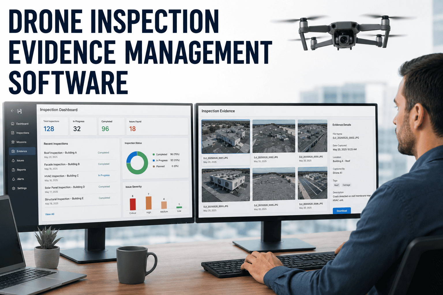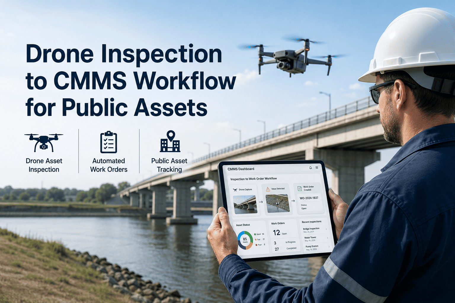
Public works agencies managing bridges, roads, municipal buildings, stormwater systems, and utility corridors spend billions annually on infrastructure inspection — yet most still rely on paper forms, disconnected spreadsheets, and manual data re-entry to turn inspection findings into repair tasks. The 2025 ASCE Report Card graded U.S. infrastructure at a C, with over 46,000 bridges rated structurally deficient and roads earning a D+ — conditions that demand faster, more systematic inspection and maintenance response. Drone inspection software built for government maintenance now bridges that gap: autonomous UAV flights capture visual, thermal, and LiDAR data across dozens of assets in hours; AI classifies every defect; and OxMaint CMMS converts classified findings into prioritized work orders automatically — with GPS coordinates, photo evidence, and asset history attached. A major U.S. municipality used this workflow to clear a 4.5-year inspection backlog across 340 miles of infrastructure in just 8 months, documenting 2,847 geo-tagged defects that auto-generated maintenance work orders without a single manual transcription step. Book a demo to see the complete drone-to-work-order pipeline configured for your public works portfolio.
Drone Inspection Software for Maintenance Work Order Automation in Government Maintenance
Convert UAV inspection findings into prioritized, geo-tagged CMMS work orders automatically — built for public works agencies, municipal maintenance teams, and government asset managers.
Why Manual Inspection Workflows Fail Public Works Teams
Government maintenance teams are not failing because of lack of effort — they are failing because inspection data never reaches the work order system in time to matter. Findings sit in PDFs, shared drives, and paper logs while defects worsen and federal compliance deadlines approach.
Inspection Data Never Converts
Critical defects found during inspection never become work orders. Findings get emailed, printed, or verbally relayed — then lost between handoffs while infrastructure continues deteriorating.
Compliance Risk Without Records
Federal programs require documented inspection cycles with timestamped findings and repair verification. Manual workflows produce incomplete audit trails that expose agencies to funding clawbacks and liability.
Backlogs Compound Into Crises
Manual inspection rates cannot keep pace with deteriorating infrastructure. Backlogs grow — minor cracks become structural failures, minor leaks become sinkholes — all while public safety exposure compounds.
From Drone Flight to Work Order in Four Steps
Drone Captures
Autonomous UAV missions collect 4K visual imagery, thermal frames, and LiDAR point clouds across bridges, roads, buildings, and utility assets — with GPS coordinates embedded in every capture.
AI Classifies
Computer vision models identify and classify cracks, spalling, corrosion, membrane failure, and structural anomalies — graded by severity against NBI and facility condition index standards automatically.
OxMaint Creates Work Orders
Defects above configured severity thresholds auto-generate CMMS work orders within 60 seconds — carrying asset ID, GPS coordinates, severity tier, photo evidence, and recommended repair action.
Crews Repair and Verify
Maintenance teams receive mobile work orders with precise geolocation. Completed repairs are logged against the original drone finding — building an audit-ready compliance record for every asset.
See OxMaint's drone-to-work-order pipeline running on your government asset types — configured for NBI compliance, capital planning, and federal audit requirements.
Government Asset Types Covered
| Asset Type | Drone Data Collected | AI Defect Categories | Compliance Standard | Work Order Trigger |
|---|---|---|---|---|
| Bridges | 4K visual, thermal, LiDAR | Spalling, section loss, scour, delamination | NBI Rating System | NBI score ≤ 4 |
| Road Pavements | RGB + LiDAR | Cracking, rutting, potholes, edge failure | PCI Standard | PCI drop below threshold |
| Municipal Buildings | Thermal + RGB | Roof membrane failure, facade spalling, HVAC | Facility Condition Index | FCI change > 0.05 |
| Stormwater Infrastructure | Visual + sonar crawlers | Pipe collapse, root intrusion, sedimentation | PACP Standards | Grade 4-5 defect detected |
| Utility Corridors | Thermal + RGB | Insulation breach, corrosion, joint failure | Agency-specific | Thermal anomaly > baseline |
"We had a 4.5-year inspection backlog and one drone program later, it was cleared in 8 months. But the real change was what happened after the flights — OxMaint turned every finding into a work order automatically. Our crews stopped getting PDF emails and started getting actionable assignments with GPS pins. Federal audit prep that used to take three weeks now takes two hours."
Built for Government Reporting and Federal Compliance
Timestamped Inspection Records
Every drone finding is stored with flight timestamp, asset ID, operator record, and inspection cycle — producing audit-ready documentation without additional data entry from your team.
NBI and PCI Rating Integration
AI defect classification maps directly to NBI bridge rating and PCI pavement condition standards — automatically updating asset condition scores in OxMaint as each drone survey is processed.
Capital Planning Dashboards
Aggregated defect severity and repair backlog data across your entire infrastructure portfolio gives city planners concrete, evidence-backed data to justify capital improvement budget requests.
Repair Closure Verification
Every work order closes with technician record, completion timestamp, and photo verification — linked to the original drone finding to create an unbroken asset condition chain for federal reporting.
Frequently Asked Questions
Public Infrastructure Deserves Better Than a Paper Form and a Backlog
OxMaint connects drone inspection data to automated work orders, NBI-compliant asset records, and capital planning dashboards — so your public works team acts on findings within minutes, not months.