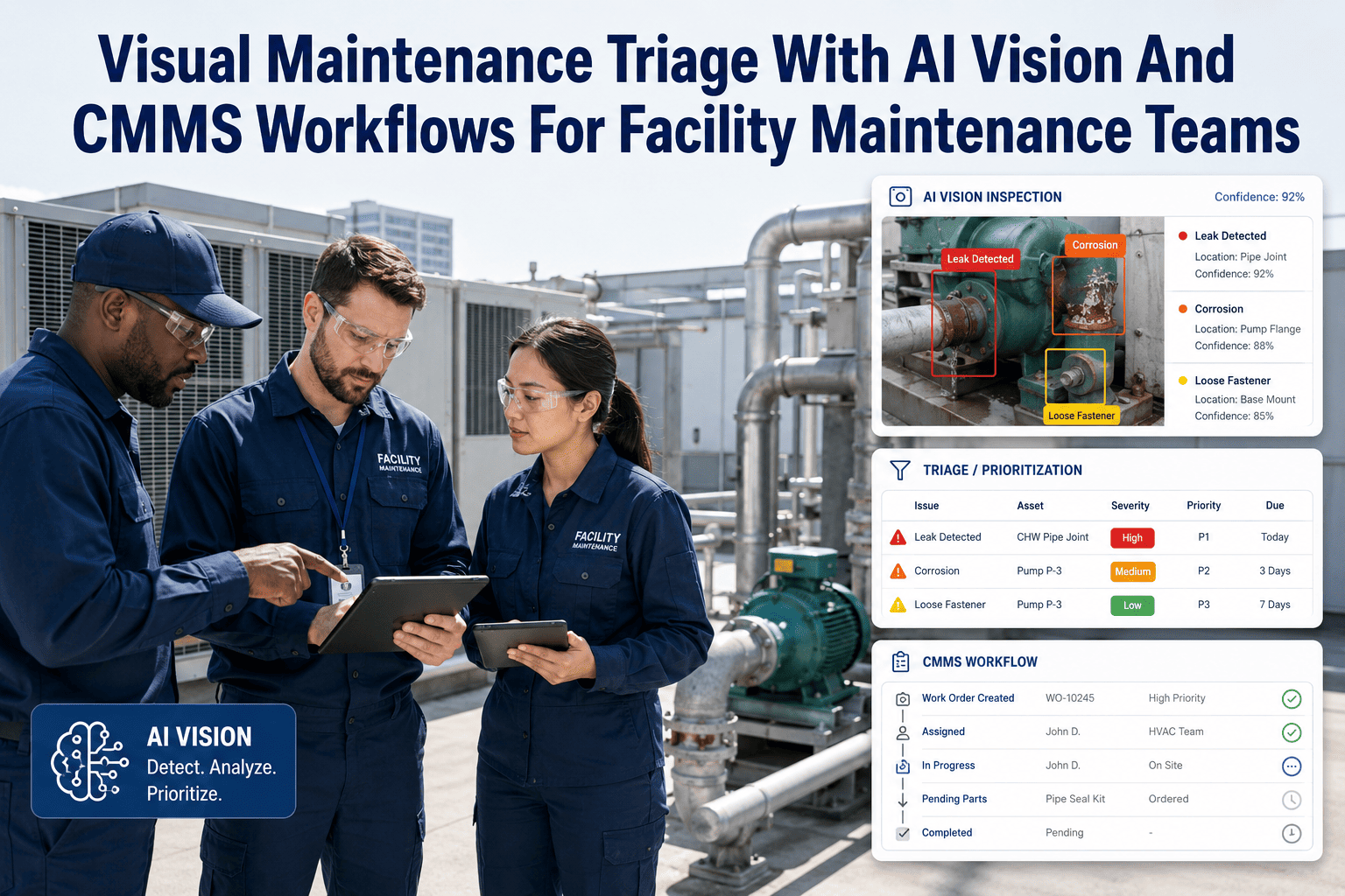
A pothole, a damaged guardrail, or a failing streetlight gets reported by a citizen or field crew, and then the trail often goes cold inside an inbox or a paper form that never reaches the right department. Public works teams are accountable to taxpayers for response time, yet most agencies still process visual reports manually. OxMaint's AI Vision system reads the photo, classifies the infrastructure issue, and opens a routed work order automatically — so nothing sits unassigned. Book a demo to see it applied to your agency's asset types.
Government & Public Works · AI Vision to CMMS
How AI Vision Turns Maintenance Photos Into Actionable CMMS Data
Manual photo logging
Slow
AI Vision classification
Fast
Routed work order creation
Fast
Public Infrastructure Defects
What the AI Model Recognizes Across Public Assets
Roadway
Potholes, cracked pavement, faded lane markings, and damaged signage identified from field or citizen-submitted photos.
Traffic Infrastructure
Malfunctioning signals, knocked-down signs, and damaged guardrails flagged for immediate safety review.
Water & Sewer
Visible leaks, manhole damage, and drainage blockages classified and routed to utility crews.
Public Facilities
Park equipment damage, building exterior issues, and lighting failures captured during routine rounds.
Turn Citizen Photos Into Routed Work Orders
OxMaint connects field reports and citizen submissions directly into your CMMS, with automatic classification and department routing.
Accountability Trail
From Submission to Closure: What Gets Tracked
| Stage |
Data Captured |
Why It Matters |
| Submission |
Photo, location, timestamp |
Establishes the verified moment of report |
| Classification |
Defect type, severity score |
Drives consistent, unbiased prioritization |
| Routing |
Department, crew assignment |
Removes manual triage delays |
| Closure |
Completion photo, response time |
Supports public transparency reporting |
Expert Review
What Public Works Researchers Say About Visual Reporting Systems
Municipalities that adopt photo-based citizen reporting tools consistently shorten the time between issue identification and crew dispatch, which is the metric most closely tied to public satisfaction with infrastructure response.
— Public Works Management and Policy, Citizen Reporting Studies
Automated classification of infrastructure defects reduces the subjectivity that historically affected manual triage, giving agencies a more defensible basis for prioritization decisions during budget and audit reviews.
— Journal of Infrastructure Systems, Asset Management Research
FAQs
Frequently Asked Questions
Can citizens submit photos directly, or only field crews?
Both workflows are supported, agencies can enable citizen photo submission through a public-facing form while field crews use the same classification engine through the mobile app.
Start a free trial to test both submission paths.
How does the system decide which department a defect routes to?
Routing rules are configured per agency during onboarding, mapping each defect category to the correct department and crew based on your existing organizational structure.
Book a demo to map your routing rules.
Is response time data available for public transparency reporting?
Yes, OxMaint tracks submission-to-closure time for every reported issue, and this data can be exported or displayed for public dashboards if your agency chooses.
Does this work for agencies without existing GIS or asset mapping?
A basic asset register can be built during onboarding even without prior GIS integration, and existing GIS data can be connected later for more precise location matching.
Sign up free to get started without waiting on a full GIS rollout.
AI Vision for Public Works
Give Every Reported Issue a Clear Path to Resolution
OxMaint connects citizen and crew photo reports directly into a routed, trackable CMMS workflow built for public accountability.