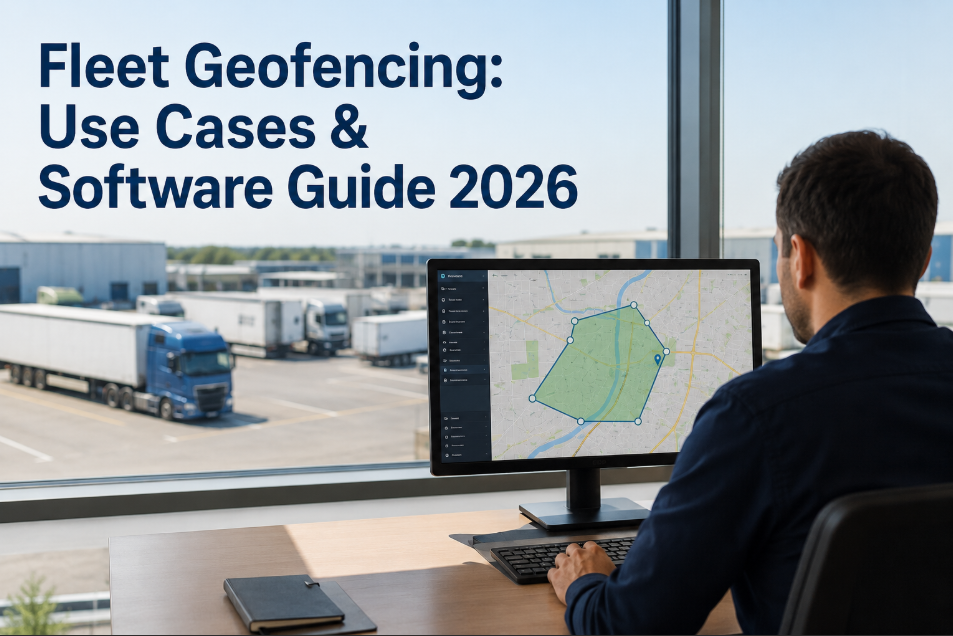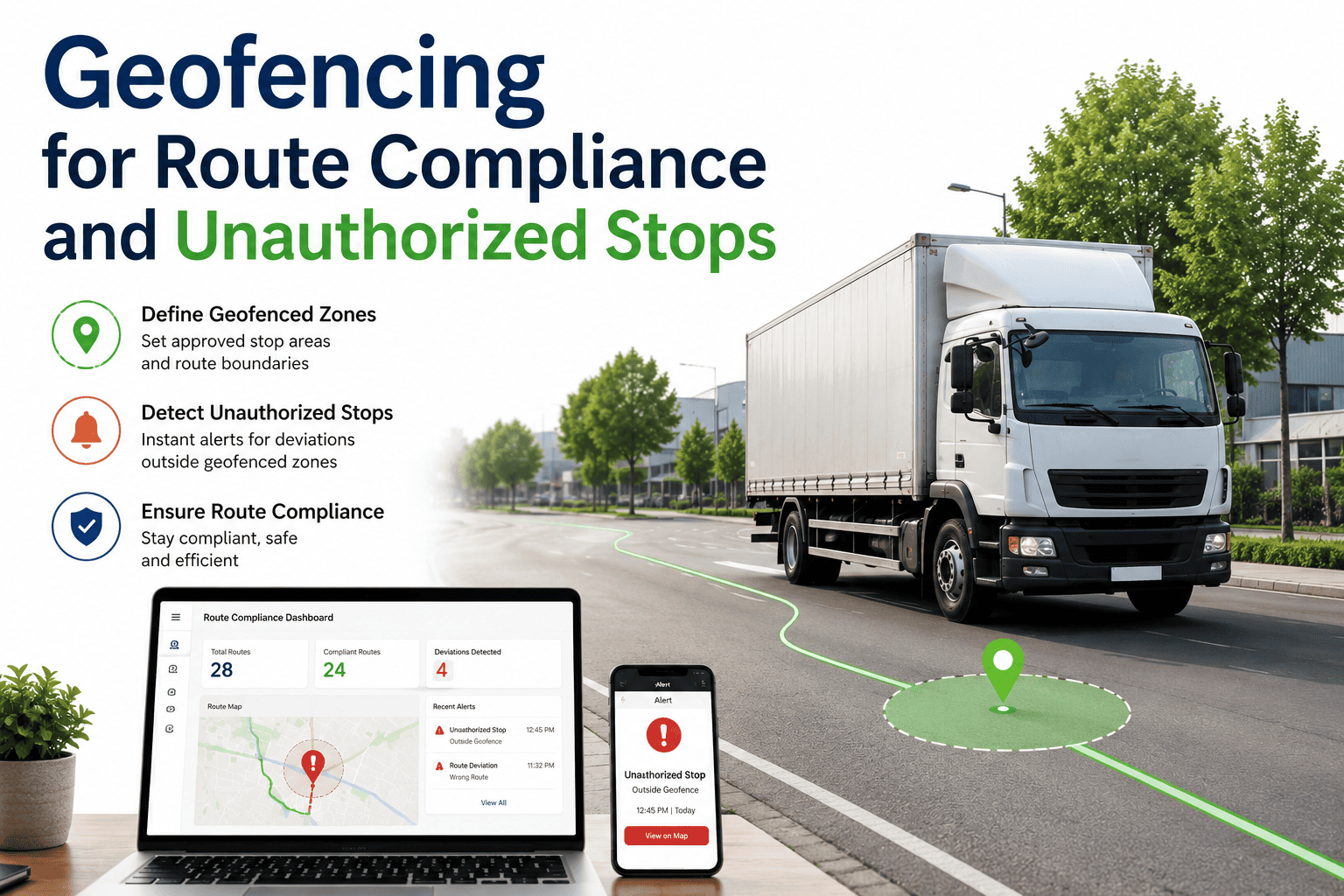
Geofencing turns raw GPS pings into structured, actionable events for fleet and maintenance operations — every entry and exit becomes a timestamp, a compliance record, or a workflow trigger. For telematics-led fleets, virtual boundaries drawn around yards, customer sites, fuel islands, and service corridors are the single fastest way to detect unauthorized stops and route deviations the moment they happen, not days later in an audit. This guide breaks down the five high-value geofence use cases, the polygon-vs-circle setup mistake that quietly breaks alert accuracy, and the threshold rules that separate a compliance tool from a noise machine. When you're ready to operationalize it, you can Start Free Trial and connect fence events directly to vehicle records and PM workflows.
How many unauthorized stops happened on your routes last month — and how long did it take you to find out?
A single geofence breach can signal fuel theft, side jobs, HOS violations, or a driver stranded off-route. Without virtual boundaries, the average fleet discovers route deviations 48 to 72 hours after the fact — too late for compliance, too late for recovery. Polygon geofences catch the deviation the second a truck crosses the line.
Five geofence triggers that pay for the telematics stack
Each trigger converts location data into an automated workflow — no manual log review, no dispatcher guesswork. A 120-truck regional fleet typically runs 6–9 active fence types and sees ROI inside the first quarter.
Time-on-site tracking
Arrival and departure timestamps at a customer geofence feed driver logs and billing systems automatically. Eliminates 15–20 minutes per driver per day of manual entry and resolves detention-time disputes with documented evidence.
Driver logs · BillingFuel purchase validation
Cross-references the geofence around a fuel station with the card-swipe timestamp. Mismatched transactions — fuel bought where the truck never was — flag instantly. Typically recovers $1,800–$4,200 per 50 trucks annually in fraudulent or erroneous charges.
Fraud detectionRoute compliance monitoring
Corridor geofences along assigned routes alert dispatch the moment a vehicle deviates or makes an unauthorized stop. Cuts off-route mileage by 8–14% and shortens customer ETAs by catching detours in real time rather than in next-day reports.
Dispatch alertsYard entry for PM scheduling
Shop-yard geofences tell the CMMS when a truck is physically on-site and available for scheduled service. The maintenance team stops chasing drivers who "forgot" a PM appointment, and wrench-time utilization improves by an average of 22%.
CMMS triggerUnauthorized use detection
A truck moving outside authorized hours or geographic zones generates a security alert. Catches after-hours personal use, moonlighting, and theft — one mid-size fleet recovered $47K in a single quarter from unauthorized-mileage disciplinary action.
Security alertDwell-time anomaly
A truck lingering at a repair shop or rest stop beyond a configured threshold triggers a maintenance or wellness check. In Oxmaint, an unexpected 4-hour dwell at a non-network shop auto-opens a work order for review.
Threshold triggerPolygons, not circles — the setup detail that decides accuracy
The most common geofence mistake is drawing a circular fence around an irregular site. A 200-meter circle around an L-shaped customer yard captures the adjacent parking lot, a public road, and a competitor's dock — every truck passing through generates a false event.
Circular fence
- Fixed radius ignores site shape
- Captures adjacent public roads and neighbor lots
- 200+ false events per day on busy corridors
- Drivers and dispatch mute the alerts within a week
Polygon fence
- Follows the actual property boundary
- Excludes roads, neighbor lots, and dead space
- Only fires on genuine entries and exits
- Alerts stay meaningful — teams keep watching
The threshold rule that separates signal from noise
If the ratio exceeds 10:1, dispatch stops reading alerts within 14 days. The fix is threshold-based firing: an alert only triggers on unexpected entries, unexpected exits, or dwell time beyond a configured window (e.g., 15 minutes at a customer, 90 minutes at a fuel stop). Geofences from Geotab, Samsara, Motive, and Verizon Connect all support polygon shapes with per-fence threshold rules — but the rules only work if someone configures them.
A 180-truck regional carrier, one quarter after deployment
Before geofencing, this fleet relied on driver-call-in arrivals and next-day route reports. Unauthorized stops surfaced in monthly audits, if at all. After polygon fences and threshold alerts went live, the numbers moved inside 90 days.
Fuel-station geofences matched against card-swipe timestamps caught 11 mismatched transactions in the first quarter alone — three of them recurring from the same driver.
Corridor fences along assigned routes flagged deviations in real time. Drivers corrected course within minutes instead of running side errands for an hour.
Shop-yard fences told the CMMS exactly when trucks arrived for PM. The maintenance team stopped waiting on no-shows and re-sequenced the daily service board.
Unauthorized-use fences fired on three trucks moving between 11 PM and 4 AM outside authorized zones. Two were moonlighting; one was a theft in progress.
What leading telematics platforms support — and where Oxmaint extends it
Geotab, Samsara, Motive, and Verizon Connect all support polygon geofences with configurable alert rules. Oxmaint adds the maintenance-side bridge: fence events attach to vehicle records and trigger CMMS workflows automatically.
| Capability | Native telematics | Oxmaint extension |
|---|---|---|
| Polygon fence drawing | Supported across all four platforms | Inherits polygon shape from telematics feed |
| Entry / exit alerts | Configurable per fence, real-time | Logged against vehicle service history |
| Dwell-time thresholds | Supported, requires per-fence setup | Triggers maintenance work order on anomaly |
| Fuel validation | Requires fuel-card integration | Flags mismatch in vehicle cost ledger |
| PM readiness flag | Not native — requires manual handoff | Auto-flag when truck enters shop yard |
| Repair-shop dwell alert | Generic dwell alert only | Opens review work order automatically |
| Audit trail for compliance | 30–90 day event log | Permanent record attached to asset |
From zero to live compliance in 30 days
A disciplined rollout follows a four-week cadence. Skipping the tuning phase is the single biggest reason fleets abandon geofencing inside the first quarter.
Inventory & fence design
Map every customer site, fuel station, yard, and assigned route corridor. Draw polygon fences following actual property lines — not estimated radii. Target 8–12 fence types for a mid-size fleet.
Alert rule configuration
Set per-fence thresholds: expected entry/exit windows, dwell-time limits, authorized-hours windows. Route every alert to the right channel — dispatch, maintenance, or security — not a single shared inbox.
CMMS workflow binding
Connect fence events to vehicle records in Oxmaint. Shop-yard arrival triggers PM readiness; unexpected repair-shop dwell opens a work order; fuel mismatch flags the cost ledger.
Tuning & noise reduction
Review the noise ratio. If any fence exceeds 10:1 events-to-actions, tighten the polygon or raise the dwell threshold. Target under 3:1 before declaring the rollout live.
Stop finding unauthorized stops in next month's audit.
Polygon geofences with threshold-based alerts catch route deviations, fuel mismatches, and after-hours use the second they happen — and trigger the right workflow automatically.
Geofencing for route compliance — the questions fleets ask most
How accurate are polygon geofences compared to circular ones?
Polygon fences follow the actual property boundary, so they only fire when a truck genuinely enters or exits the site. A circular fence with a fixed radius typically captures 30–60% more area than the real site, generating false events every time a vehicle passes on an adjacent road. For irregular sites like L-shaped docks or multi-entrance yards, polygons reduce false alerts by 80% or more. You can see the difference in your own data — Start Free Trial and compare fence types side by side.
What is alert fatigue and how do I prevent it?
Alert fatigue happens when a geofence generates too many notifications — typically 200+ per day — and dispatch stops reading them within two weeks. The fix is threshold-based firing: alerts only trigger on unexpected entries, unexpected exits, or dwell time beyond a configured limit. A well-tuned fence should produce a noise ratio under 3:1 events-to-actions. Review and tighten thresholds weekly during the first month.
Can geofences validate fuel card purchases?
Yes. A geofence drawn around a fuel station is matched against the card-swipe timestamp. If a fuel transaction occurs at a station where the truck's GPS never registered a visit, the system flags it instantly. Most fleets using fuel-validation fences recover $1,800–$4,200 per 50 trucks annually in fraudulent or erroneous charges.
How does Oxmaint connect geofence events to maintenance?
Fence events attach directly to vehicle records. When a truck enters the shop yard, Oxmaint auto-flags it as PM-ready and surfaces it on the maintenance board. If a truck lingers at a non-network repair shop beyond a dwell threshold, a review work order opens automatically. Book a walkthrough at calendly.com/oxmaintapp/30min to see the workflow live.
Which telematics platforms support polygon geofences?
Geotab, Samsara, Motive, and Verizon Connect all support polygon geofences with configurable alert rules. The capability is standard — the difference is in how well you configure thresholds and how the events connect to downstream workflows. Native telematics handles the alert; Oxmaint extends it into the CMMS so fence events drive maintenance action, not just notifications.
Turn every geofence event into a workflow trigger.
Deploy polygon geofences, threshold-based alerts, and CMMS-connected workflows in under 30 days. Catch unauthorized stops, fuel mismatches, and route deviations the moment they happen — not in next month's audit.
Free 14-day trial · No credit card