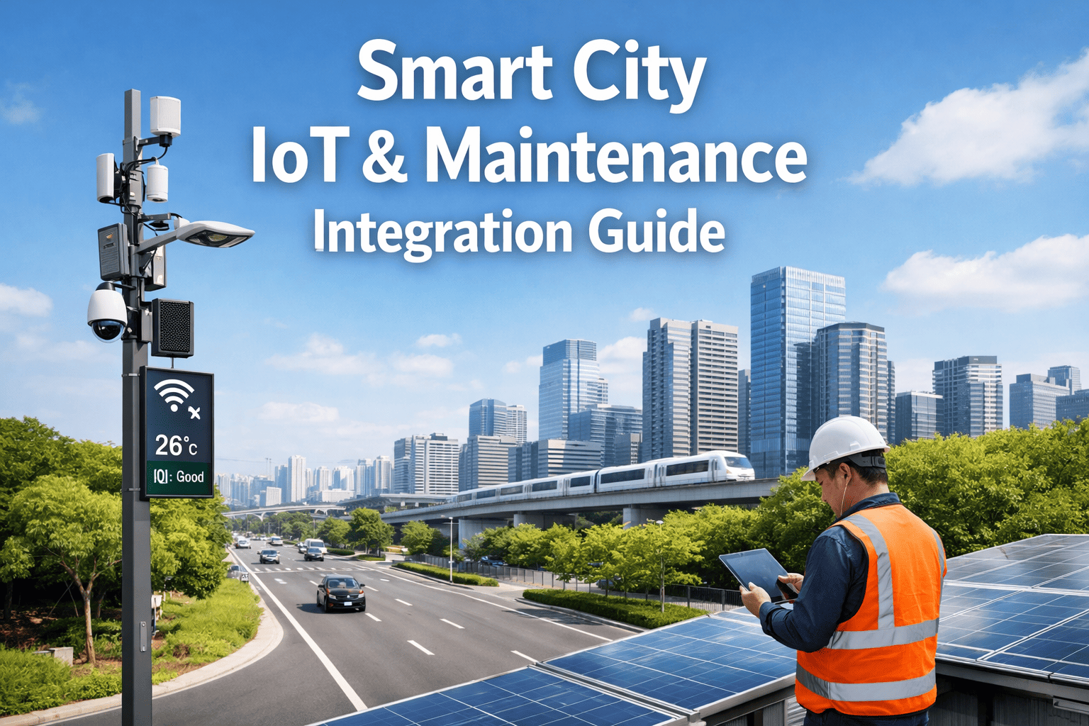
3D Mapping and Corridor Survey for Highways Using Drones
By Taylor on March 12, 2026
When a public works director asks "Where are our highway inspection drones right now, and what pavement defects have they mapped this week?" and the maintenance manager responds "We'd have to check three separate flight mission logs and cross-reference them manually with last quarter's spreadsheet," the integration gap is critical. Deploying drones for 3D mapping and corridor survey for highways is not enough; having a unified programme where drone inspection workflows, AI vision defect detection, and IoT monitoring feed real-time asset health into a single platform is the standard. If your highway maintenance relies on disconnected vendor portals and manual work order creation, public agency funds are bleeding through invisible cracks in your government infrastructure. The difference between agencies drowning in deferred maintenance and those achieving measurable asset management is Oxmaint AI. Oxmaint AI integrates drones, robots, sensors, and analytics to automate inspections, reduce downtime, and keep citizens safe. Talk to our team about closing the gap between your drone investments and your actual highway maintenance outcomes.
Highway Infrastructure Guide — 2026 Edition
3D Mapping and Corridor Survey for Highways Using Drones
Drone inspection workflows, AI vision defect detection, and route planning—deployed, scheduled, and tracked through CMMS integration for accountable, predictive maintenance on public infrastructure.
Every public works department is deploying drone systems at an unprecedented pace to map corridors and assess asset health. But when each drone fleet operates in a separate flight log dashboard, disconnected from the CMMS that governs work orders, budgets, and compliance reporting, the agency loses operational intelligence. A pothole detected by a drone, a guardrail anomaly mapped by AI vision, and a drainage block flagged by IoT sensors are data points in isolation. Together, fed into a unified CMMS like Oxmaint AI, they build the asset health dashboard that drives predictive maintenance and secures public infrastructure funding.
What CMMS-Integrated Drone Surveys Enable
Predictive Maintenance
AI analytics correlate drone 3D mapping data across highway corridors to predict failures before they reduce downtime or endanger citizens.
Work Order Automation
AI vision defect detection auto-generates prioritised CMMS work orders with GPS coordinates, imagery, and severity scores—zero manual transcription.
Citizen & Worker Safety
Drones survey active roadways, bridge undersides, and steep corridors—removing workers from hazardous field environments and improving public works safety.
Mission Logs & Routing
Advanced route planning ensures drone fleets survey hundreds of highway-miles monthly, generating accurate mission logs for complete coverage tracking.
Digital Twin Integration
3D corridor mapping builds a responsive digital twin, satisfying federal and government infrastructure documentation requirements automatically.
Asset Health Dashboard
Condition data from IoT monitoring and drone surveys centralises into an asset health dashboard that wins public agency budget approvals.
The Highway Drone Fleet: Workflows by Infrastructure Domain
Government infrastructure spans massive networks—each requiring specialised drone inspection workflows with distinct 3D mapping constraints and CMMS integration requirements. No single mission covers every asset, which is why Oxmaint AI fleet management through a central platform is essential for converting isolated mission logs into actionable asset management. Book a demo to see cross-domain drone workflows.
Drone Workflows by Highway Asset
Pavement & Lane Surfaces
High-Res Photogrammetry50 mi/day
AI Vision Crack Detection94%
Surface Thermal ScanningHigh
Tools: Fixed-wing drones, AI vision payloads
Output: PCI data + Work order automation
Overpasses & Bridges
Multi-Rotor 3D Mapping8 spans/day
LiDAR Defect Scaling±2 cm
Underside Robot CrawlersHigh
Tools: Drones, structure climbing robots
Output: Digital twin models + Health dashboards
Corridors & Drainage
Topographic LiDARHigh
IoT Flow Monitoring24/7
Vegetation Encroachment98%
Tools: Drone corridor surveys, IoT flow sensors
Output: Clearance maps + Predictive maintenance
Signage & Lighting
Asset Geo-taggingHigh
Reflectivity AI AuditsHigh
Pole Structural ScansMedium
Tools: Corridor multi-rotors, automated routing
Output: Mission logs + CMMS integration
Earthworks & Slopes
Erosion 3D ModelingHigh
Subsidence Tracking±1 cm
IoT Soil Moisture MonitoringContinuous
Tools: Mapping drones, ground IoT nodes
Output: Stability reports + PM schedule triggers
Unify Your Drone Fleet Under One Platform
Oxmaint AI integrates drones, robots, sensors, and analytics into a single public works CMMS—auto-generating work orders from AI vision defect detection, tracking asset health dashboards, and producing digital twin records for government infrastructure requirements.
To prioritise digital transformation, public agencies must assess their 3D mapping maturity. A standardised 1-5 scale translates drone operations into a roadmap for asset management—moving from "Isolated Flights" (Level 1) to "AI-Orchestrated Digital Twins" (Level 5). Most public works teams today sit at Level 2 or 3, with drones deployed but data trapped in mission logs. Start your free trial to reach Level 4.
Highway Drone Integration Maturity Scale
5
Autonomous — AI-Predictive Maintenance
Drones execute route planning based on AI degradation models. IoT monitoring and 3D mapping correlate to detect failure patterns. Asset health dashboards drive automated public infrastructure budgeting.
Action: Continuous AI vision refinement & digital twin expansion
Goal State
4
Integrated — CMMS-Connected Fleet
Drone data feeds CMMS in real-time. Work order automation triggers from AI defect scores. Mission logs tracked alongside highway assets. Government compliance reports are automated.
Action: Scale across all highway corridors & enable IoT monitoring
High Efficiency
3
Deployed — Siloed Survey Data
Multiple drone inspection workflows active but 3D mapping lives in separate software. Work orders created manually from flight reports. Route planning disconnected from the main CMMS.
Action: Centralise data pipelines into Oxmaint AI platform
Standard
2
Piloting — Single-Corridor Trial
One or two drones mapping specific high-risk overpasses. Limited AI vision defect detection. No CMMS integration. Results shared via PDF mission logs at public agency meetings.
Action: Prove ROI on downtime reduction and expand asset coverage
Inefficient
1
Manual — No Drone Capability
All highway corridor surveys performed by manual crews. Windshield inspections, paper forms, and complaint-driven maintenance. High risk to citizen and worker safety.
Action: Assess highest-value 3D mapping use cases for first pilot
High Risk
The Cost of Disconnected 3D Mapping Data
Deploying highway inspection drones without CMMS integration is a financial drain on public agencies. A defect captured by AI vision but trapped in a mission log compounds into missed maintenance windows, unexpected downtime, and eventual infrastructure failure. The cost of acting on drone mapping immediately through work order automation is minimal compared to the cost of a highway collapse or emergency lane closure caused by IoT data that nobody connected to asset management.
Cost of Drone Data Disconnection Over Time
Cost multiplier when AI vision findings don't generate immediate CMMS work orders
5 Auto Work Order
$200 (Planned Repair)
1x
4 Manual Review
$800 (Delayed Fix)
4x
3 Data Forgotten
$5,000 (Defect Escalates)
25x
2 Citizen Reports
$35,000 (Emergency Fix)
175x
1 System Failure
$500K+ (Lane Collapse)
2500x
Investing in CMMS-integrated drones (Level 4-5) prevents the exponential costs that compound when route planning data sits unactioned in siloed mission logs (Level 1-2).
Turn AI Vision Defect Detection Into Asset Management
Oxmaint AI helps public works teams convert 3D mapping and corridor survey findings into prioritised work orders, populate real-time asset health dashboards, and generate the compliance documentation that government infrastructure funding programmes require.
Building the Programme: The 5-Phase Highway Drone Integration
A successful drone inspection workflow for highways follows a disciplined lifecycle—from mapping initial corridor survey gaps to scaling predictive maintenance across all public works assets. This cycle ensures that 3D mapping investments reduce downtime and deliver measurable infrastructure outcomes, rather than just impressive digital twins that fade after the agency presentation.
Drone Corridor Survey Integration Lifecycle
1
Highway Gap & Route Planning
Audit existing manual inspection gaps, map the corridors with highest unplanned downtime, and define the 3D mapping use cases that deliver fastest ROI. Typical starting points: overpass LiDAR scans, AI vision pavement surveys, and slope stability.
Months 1–2
2
CMMS & IoT Monitoring Setup
Register each drone as a CMMS asset. Configure API data pipelines from drone mission logs. Build AI vision defect-to-work-order automation rules. Establish the digital twin hierarchy linking drones and sensors to highway sections.
Months 3–5
3
Pilot Survey & Workflow Validation
Deploy drones across 2 high-traffic corridors. Run 3D mapping and manual windshield inspections in parallel to validate AI defect detection accuracy. Demonstrate work order automation to highway supervisors to prove time savings.
Months 6–9
4
Scale Digital Twin & Asset Management
Document ROI on reduced downtime. Expand route planning to all major state highways. Enable cross-domain correlation (e.g., surface cracks linked to poor drainage mapping). Deploy asset health dashboards for public works leadership.
Months 10–14
5
Predictive Maintenance & Public Safety
Activate predictive maintenance models trained on continuous 3D mapping data. Auto-generate capital plans from the asset health dashboard. Build government infrastructure grant applications using irrefutable digital twin evidence.
Year 2+ (Continuous)
Expert Perspective: From Aerial Photos to Asset Health
"
We bought our first corridor mapping drone three years ago. It sat idle because nobody knew how to integrate mission logs into our highway maintenance schedule. When we finally deployed it, the 3D mapping was stunning—but it lived in a siloed dashboard that our supervisors never checked. We had world-class AI vision defect detection generating zero work orders. When we connected everything through Oxmaint AI's CMMS integration, the transformation was immediate. Drone inspection workflows now auto-generate prioritised repair tasks. Our patching crew receives daily AI-optimised route planning. IoT monitoring feeds directly into our asset health dashboard. When we applied for government infrastructure funding, our digital twin package was cited as the strongest condition documentation seen from a public agency. Oxmaint AI integrated our drones, robots, and sensors to automate inspections, reduce downtime, and keep citizens safe.
— Director of Public Works, State Highway Authority
$4.1M
Annual savings from proactive 3D mapping vs. reactive highway repairs
60%
Reduction in citizen complaints regarding road downtime and hazards
Zero
Worker injuries from active roadway or steep corridor inspections
The public works agencies achieving operational excellence share a common trait: they treat drone inspection workflows not as high-tech photography, but as the data backbone of asset management. By leveraging CMMS integration, AI vision defect detection, and IoT monitoring, these organisations transform scattered mission logs into a unified digital twin for government infrastructure. When 3D mapping drives work order automation, citizens get better roads, reduced downtime, and enhanced safety. Start building your predictive maintenance programme with Oxmaint AI.
Automate Highways Maintenance for Public Agencies
Oxmaint AI centralises drone inspection workflows, AI vision defect detection, route planning, and digital twin records into one asset health dashboard—ensuring every 3D mapping survey keeps citizens safe and reduces downtime.
How does 3D mapping and corridor survey for highways improve public agency asset management?
3D mapping transforms highway maintenance by replacing subjective, slow windshield surveys with objective, high-resolution digital twins. Drone inspection workflows capture millions of data points across pavement, bridges, and drainage systems in a fraction of the time. When this data is processed through AI vision defect detection, public agencies can accurately quantify degradation, forecast repair costs, and transition from reactive patching to predictive maintenance—ultimately extending asset lifecycles and reducing overall downtime.
Why is CMMS integration crucial for drone and robot inspections?
Without CMMS integration, drone mission logs and IoT monitoring data sit in disconnected vendor portals, creating an illusion of active asset management. Oxmaint AI solves this by auto-ingesting 3D mapping data, running AI vision analytics, and using work order automation to instantly push prioritised tasks to highway crews. This ensures every identified pothole or guardrail defect results in a tracked repair, closing the loop between digital detection and physical public works maintenance.
How does Oxmaint AI incorporate route planning and mission logs?
Oxmaint AI aligns drone route planning with your broader highway maintenance schedules. By importing mission logs directly into the asset health dashboard, the platform correlates flight paths with specific government infrastructure segments. This verifies complete inspection coverage and ensures that historical 3D mapping data is always tethered to the correct geographical asset in your digital twin, streamlining federal audit and compliance reporting.
Can IoT monitoring and drone inspections work together to keep citizens safe?
Yes, fusing IoT monitoring with drone inspection workflows provides comprehensive public infrastructure safety. For example, if ground-based IoT soil moisture sensors detect anomalous saturation near a highway slope, the CMMS can automatically trigger a drone corridor survey for targeted 3D mapping. The drone's AI vision evaluates the subsidence risk, and Oxmaint AI auto-generates a work order for slope reinforcement—preventing landslides, reducing downtime, and keeping citizens safe.
How does an asset health dashboard assist with government infrastructure funding?
Federal and state grants require irrefutable proof of asset deterioration and maintenance programme efficiency. An asset health dashboard powered by continuous drone 3D mapping and AI vision provides a verified digital twin of your highway network. Instead of submitting estimated degradation reports, public works directors can export automated, highly accurate condition matrices from Oxmaint AI, significantly increasing the success rate for securing critical infrastructure capital.