Drone Inspection for Government Bridges, Roofs, and Tall Structures
By Taylor on February 28, 2026
A municipal public works department was preparing for its mandated five-year structural review. Traditional methods for evaluating their network of assets required $150,000 in scaffolding, crane rentals, and extensive lane closures that frustrated commuters and delayed emergency services. The total cost—including traffic management, specialized fall-protection crews, and liability insurance—was astronomical. The post-inspection report revealed what an advanced government drone program could have detected in a fraction of the time: developing micro-fractures on a critical suspension bridge and membrane degradation on a downtown municipal roof. High-definition thermal data from a drone structural assessment would have flagged the moisture intrusion at 10% saturation. A drone water tower inspection would have mapped exterior rust without putting a single worker on a harness. Today, government drones inspect bridges, building facades, cell towers, water tanks, and rooftop equipment without scaffolding or lane closures. High-resolution imagery feeds directly into CMMS asset condition records, triggering predictive work orders weeks before a leak or spall becomes a public safety hazard. The aerial sensors, the AI, and the CMMS integration exist; the platform to deploy them across hundreds of public assets is here. Talk to our team about building a continuous drone asset inspection program for your municipal infrastructure.
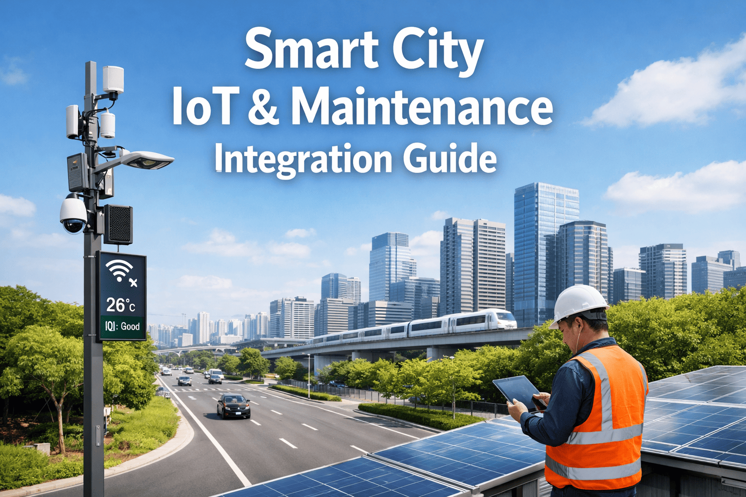
Smart Government Infrastructure
Drone Inspection for Government Bridges, Roofs, and Tall Structures
Oxmaint AI integrates drones, sensors, and analytics to automate government UAV inspection, reduce costs, and map high-resolution imagery directly into CMMS asset condition records.
Reduction in inspection time using drone infrastructure survey
60%
Lower costs vs. scaffolding and heavy lift rentals
100%
Scaffolding-Free
Zero lane closures. High-resolution imagery feeds directly into CMMS.
The Challenge of Inspecting Tall Public Assets
Government infrastructure across the country requires rigorous compliance and maintenance tracking. Yet, traditional inspections force public works departments to rely on expensive, dangerous manual methods. A typical drone building inspection replaces the need for swing stages and rappelling teams. By leveraging a drone facade inspection, agencies avoid the massive logistical headache of cordoning off city sidewalks. The most dangerous failure modes—concrete spalling, roof membrane delamination, and cellular tower structural fatigue—develop invisibly in hard-to-reach places. Government drone inspection powered by AI analytics and CMMS automation detects these precursors safely from the ground, generating prioritized work orders before small anomalies become multi-million-dollar emergency repairs.
Anatomy of a Drone Condition Assessment
How UAV imagery + AI transforms aerial data into preventive CMMS work orders
AI Alert
Bridge Bearing Deterioration Detected
Month 1 — Drone Aerial Survey
UAV Captures High-Res Imagery
During a routine bridge drone inspection, cameras detect 2mm surface spalling near a critical load-bearing joint. AI logs as severity Level 2.
Month 3 — CMMS Integration
Thermal Scan Validates Moisture
Follow-up drone flight confirms moisture retention in concrete. High-resolution imagery feeds directly into CMMS asset condition records. Escalated to Level 3.
Month 4 — Planned Intervention
Targeted Epoxy Injection
Maintenance crew performs targeted structural repair on the exact GPS coordinate. Zero scaffolding required. Cost: $4,200.
Month 6 — Avoided Outcome
Major Structural Spall Prevented
AI model predicted critical concrete failure during winter freeze-thaw cycle. Avoided: $140K+ emergency closure and major reconstruction.
Total Cost Avoidance
$135K+ Saved
$4,200 planned repair vs. $140K+ emergency intervention — maximizing taxpayer ROI
Implementing a government drone program gives civil engineers X-ray vision into public infrastructure. By automating continuous monitoring of every bridge, cell tower, and municipal building, AI frees public works teams to focus on planned interventions. Start a free trial to see how drone asset inspection transforms facility management.
Core Capabilities of Government Aerial Inspection
A modern public works platform integrates government aerial inspection data, AI analytics, and CMMS work order automation into a single operating picture. This ensures that facility, street, and water department teams operate from a shared data foundation.
Drone Infrastructure Survey Platform
Essential features for modern government asset management
01
Bridge Drone Inspection
Safely assess under-bridge decks, piers, and suspension cables without snooper trucks or dangerous lane closures.
Civil Works
02
Drone Roof & Facade Inspection
Perform rapid drone facade inspection and thermal roof scans to detect heat loss, moisture pooling, and HVAC issues.
Facilities
03
Cell & Water Tower Inspection
Deploy a drone water tower inspection to map exterior degradation and cellular antenna integrity instantly.
Utilities
04
Direct CMMS Integration
High-resolution imagery feeds directly into CMMS asset condition records, attaching visuals to work orders.
Data Sync
05
Drone Structural Assessment
Create 3D digital twins and photogrammetry models of tall structures to track deterioration accurately over time.
Engineering
06
Automated Compliance Reporting
Generate audit-ready reports for federal and state infrastructure compliance, backed by irrefutable visual evidence.
Regulatory
From Scaffolding to Aerial Intelligence
The shift from manual visual inspections to drone infrastructure survey practices is the most significant safety and efficiency upgrade available to municipalities. Instead of discovering a severe roof leak when it floods a server room, AI models process drone data to find the precise entry point weeks in advance. Schedule a demo to see how aerial intelligence modernizes government maintenance.
Manual vs. Heavy Lift vs. Drone + AI Inspection
Inspection Dimension
Manual (Binoculars)
Heavy Lift (Scaffolding)
Predictive (Drone + AI)
Data Quality
Low (Surface visible only)
Moderate (Depends on lighting)
High-Res Thermal & 4K Visuals
Public Disruption
Minimal
Lane/Sidewalk Closures (Weeks)
Zero Lane Closures (Hours)
Inspection Cost
Low direct cost, high miss risk
Very High ($50k-$150k per asset)
Fraction of traditional costs
Worker Safety
Safe but ineffective
High Fall/Traffic Risk
100% Ground-Based Safety
CMMS Record
Paper forms, vague notes
Manual digital entry
Direct mapping with GPS tags
100%Elimination of fall hazards
80%Faster inspection cycles
CMMSDirect imagery integration
Stop Building Scaffolding. Start Flying.
See how Oxmaint integrates a comprehensive government drone program into a unified CMMS, covering bridges, roofs, and tall structures efficiently.
While eliminating fall risks and traffic hazards is the primary driver, the financial case for a drone structural assessment is overwhelming. By replacing physical access equipment with rapid drone flights, municipalities reallocate budget from logistics to actual repairs. For a mid-size city, the savings from a single avoided scaffolding project funds the entire drone program deployment.
Drone Program ROI for Municipalities
Based on a 150-asset public infrastructure portfolio over 12 months
Access Equipment
Scaffolding, snooper trucks, and crane rentals
$1.2M Traditional
$180K Drone Program
$1,020,000
Traffic Management
Lane closures, detours, and police detail costs
$650K Unplanned
$65K Planned
$585,000
Liability & Insurance
High-risk worker compensation premiums for at-height tasks
$400K Manual
$120K Ground-Based
$280,000
Asset Life Extension
Early intervention extends roof and bridge component lifespan
20-Year Avg Life
30-Year Avg Life
$1,400,000
Annual Drone Platform ROI
$3.2M+ Saved
Against a platform and hardware investment of $150K–$250K — incredible taxpayer value
Implementation Roadmap: Building a Government Drone Program
Deploying a drone condition assessment platform is a structured journey. The key is building a clean data foundation in your CMMS first, executing compliant flights, and then layering AI analytics on top of the gathered imagery.
90-Day Drone Integration Deployment
Steps from asset digitisation to a fully automated aerial inspection program
01
Asset Digitisation
Register all bridges, water towers, and municipal roofs with sub-components in CMMS.
02
Flight Planning
Establish FAA compliance, define safe flight paths, and coordinate airspace for specific assets.
03
Survey Execution
Fly initial drone roof inspection and bridge passes to establish a baseline visual and thermal model.
04
AI Analysis
Process high-resolution imagery through AI to identify rust, cracks, and membrane blistering.
05
CMMS Integration
Defects auto-generate work orders. High-resolution imagery feeds directly into CMMS asset condition records.
06
Continuous Operations
Schedule recurring flights based on asset criticality, building an irrefutable timeline of structural health.
Expert Perspective: Why Aerial Data is Non-Negotiable
"
We spent decades erecting scaffolding around water towers and shutting down main arteries to inspect bridge decks. We were spending a fortune just to get eyes on the problem. Now, a government drone inspection captures 4K and thermal data in two hours. The AI highlights the concrete spalling, and the imagery feeds straight into our CMMS. We went from paying $40,000 for access equipment per bridge to fixing the actual structural issues with that money. The platform paid for itself in the first inspection cycle.
— Public Works Director, Metropolitan Municipal Government
Total Safe Access
Drones eliminate the need for teams to perform hazardous rope access or scaffolding work. 100% of the inspection happens safely from the ground.
Unmatched Detail
A drone roof inspection or facade scan captures sub-millimeter detail and thermal signatures that human eyes miss entirely.
Instant Documentation
High-resolution imagery feeds directly into CMMS asset condition records, guaranteeing audit-ready historical data for regulatory compliance.
Agencies that adopt drone asset inspection aren't just buying drones—they're investing in public safety, fiscal responsibility, and resilient infrastructure. Schedule a consultation to start your aerial maintenance journey.
See More. Spend Less. Protect Public Assets.
Join forward-thinking public works departments using Oxmaint to integrate drone imagery, AI analytics, and CMMS automation into a single infrastructure management platform.
What types of assets are covered under a government drone inspection?
A modern government drone program covers a wide array of vertical and hard-to-reach assets. This includes a bridge drone inspection for under-deck and suspension analysis, a drone roof inspection for public facilities and courthouses, a drone building inspection for historical masonry facades, and a drone water tower inspection to monitor corrosion and structural integrity. All captured data is processed and tagged to the specific asset hierarchy.
How does the imagery integrate with maintenance software?
Once a drone infrastructure survey is complete, the high-resolution imagery feeds directly into CMMS asset condition records. The AI identifies anomalies (like cracks, spalls, or thermal leaks) and auto-generates a work order. Instead of a technician reading a text description, they open the work order in the CMMS and instantly see the annotated 4K image showing exactly where the defect is located on the structure. Sign up for Oxmaint to see the integration firsthand.
Is drone inspection compliant with state and federal regulations?
Yes. A drone structural assessment provides far superior documentation compared to manual notes. The resulting digital twins and photogrammetry models are often accepted and encouraged by regulatory bodies because they provide undeniable visual evidence of the asset's condition. While certain deep non-destructive testing (NDT) may still require physical contact, the drone pass pinpoints exactly where that expensive NDT testing should occur, eliminating blind searching.
Do we have to shut down roads for a drone facade inspection?
No. One of the biggest benefits is that government drones inspect bridges, building facades, cell towers, water tanks, and rooftop equipment without scaffolding or lane closures. Drone operations are conducted safely by certified pilots from ground stations, keeping traffic flowing and pedestrians safe. This eliminates the massive costs associated with municipal traffic management and police details.
What is the ROI for a drone condition assessment program?
ROI is achieved exceptionally fast, often within the first major inspection cycle. Traditional methods require expensive heavy lift equipment, scaffolding, and extensive labor hours just to access the asset. By eliminating these access costs, a single comprehensive drone asset inspection project can save tens of thousands of dollars. Furthermore, because drone inspections are faster and cheaper, you can perform them more frequently, catching degradation earlier and saving hundreds of thousands in avoided emergency repairs. Schedule a demo to review a custom ROI model.