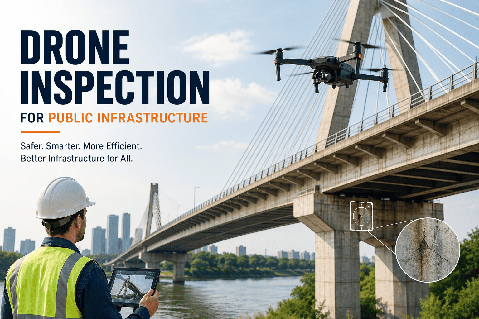
Nearly 46,000 bridges across the United States are rated structurally deficient, and close to half of all public roadways sit in poor or mediocre condition, yet most public works teams are still inspecting them with bucket trucks, rope access crews, and lane closures that take hours to set up. Drone inspection replaces that entire process with a ground-based pilot, a high-resolution camera, and a flight plan that covers a bridge deck, water tower, or rooftop in minutes instead of days. Agencies that have made the switch are reporting sharply lower access equipment costs, safer field operations, and defect detection that catches problems human eyes miss from the ground. This guide breaks down how a drone inspection program actually works for public infrastructure, what to look for in a provider, and how flight data turns into a maintenance action instead of a folder of photos nobody reviews. Book a free demo to see it mapped to your asset inventory.
Government · Public Infrastructure · Drone Inspection
Drone Inspection for Public Infrastructure: Bridges, Towers, and Roofs
See structural problems before they become failures. Drone inspection captures bridge, tower, tank, and rooftop condition data without lane closures, scaffolding, or rope access — then routes every finding straight into your maintenance workflow.
Why Public Works Agencies Are Moving to Drone Inspection
46,000+
Bridges nationwide currently rated structurally deficient
43%
Of public roadways rated in poor or mediocre condition
40%
Average drop in inspection cost after adopting a drone program
0
Lane closures, scaffolding, or rope crews needed per flight
The Shift
Traditional Inspection vs. Drone Inspection
Traditional Method
Bucket trucks, snooper trucks, or rope access crews on site
Lane closures or traffic control for hours at a time
Inspector notes and photos recorded by hand
Fall and traffic exposure for every field technician
Full structure inspected roughly every two years
Drone Inspection
One ground-based pilot operating within visual or corridor range
No lane closures — flights work around live traffic
High-resolution, thermal, and LiDAR data captured automatically
Field team stays on the ground for the entire flight
Flexible inspection frequency, including after storms or load events
How It Works
From Flight to Work Order in Four Steps
01
Flight Planning & Compliance
A mission is planned around the asset — bridge span, tower height, rooftop area — and flown under FAA Part 107 rules or upcoming Part 108 corridor authority for longer linear assets.
02
Data Capture
The drone captures high-resolution imagery, thermal signatures, and in some cases LiDAR point clouds of decks, piers, coatings, and structural connections.
03
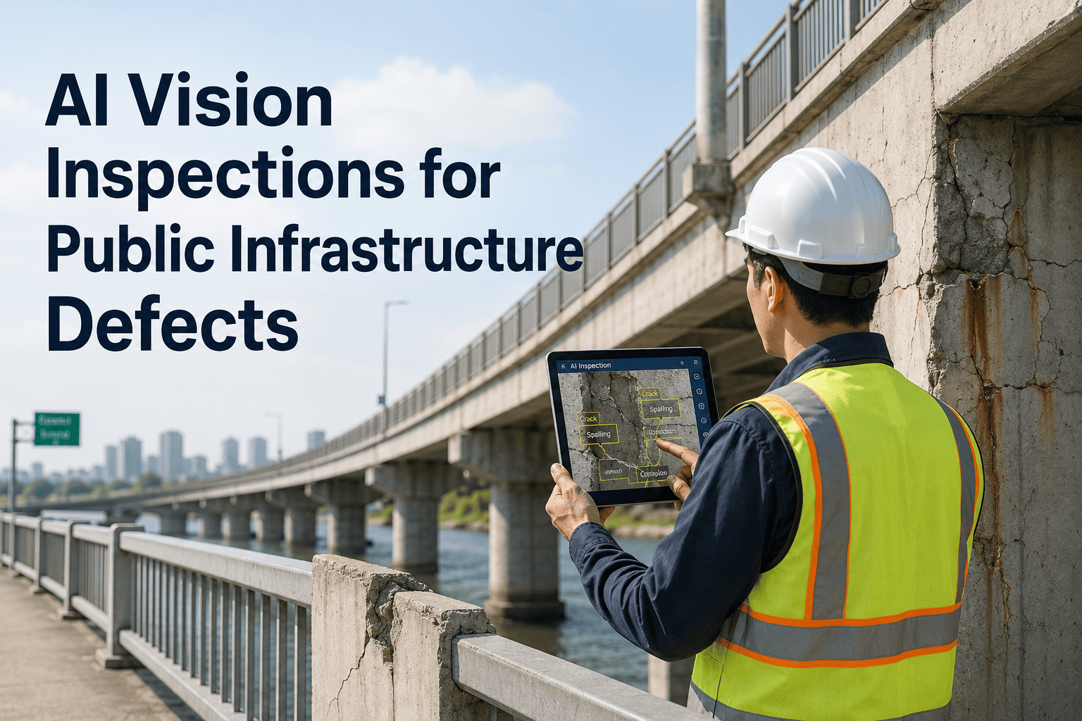
AI Defect Detection
Imagery is scanned for cracks, spalling, corrosion, seal degradation, and moisture intrusion, with each finding scored by severity and confidence level.
04
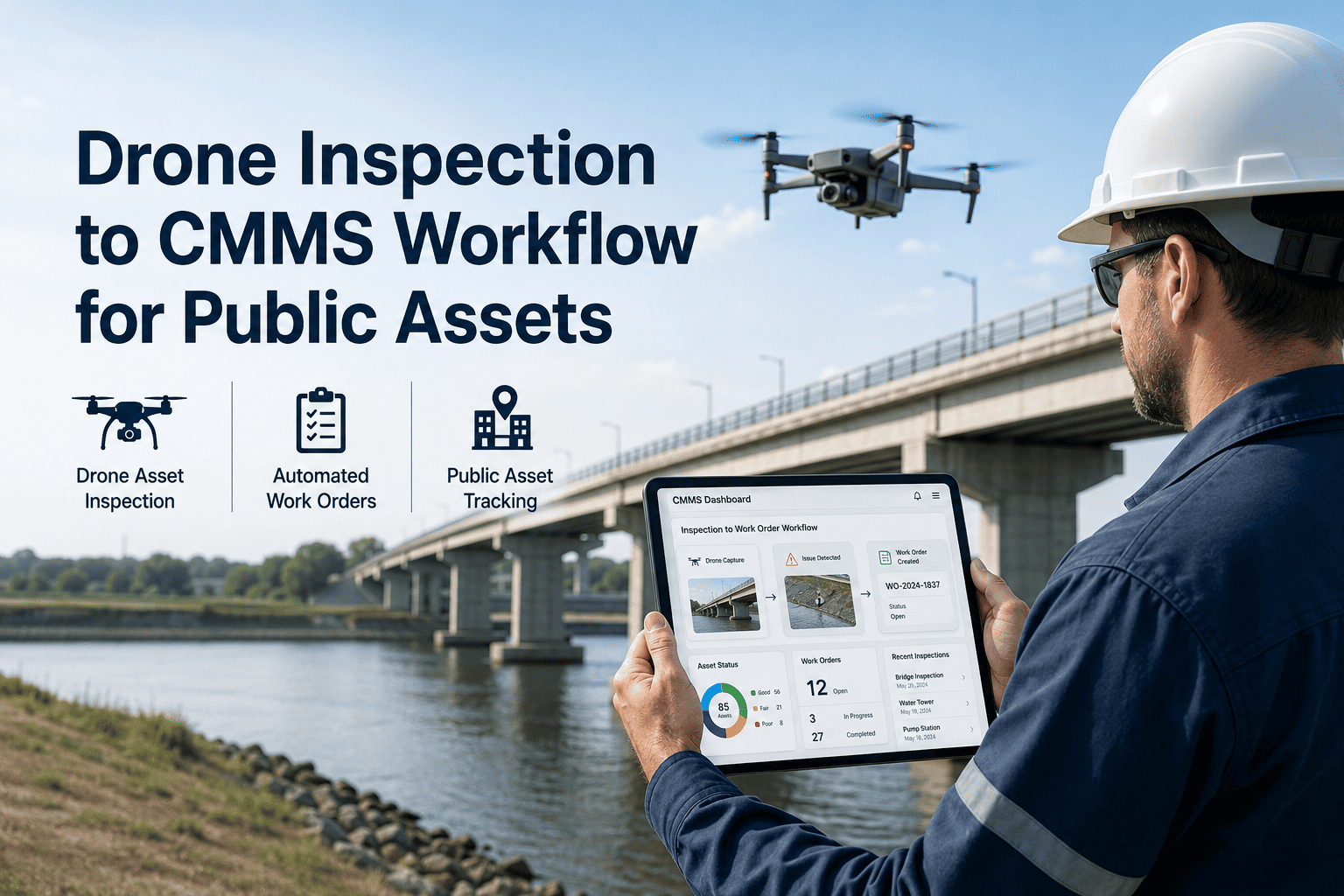
Work Order Routing
Findings above your configured severity threshold are pushed into the CMMS as prioritized work orders, so nothing sits unreviewed in a shared drive.
Asset Coverage
What Drone Inspection Replaces, Asset by Asset
| Asset Type |
Typical Defects Detected |
Access Method Replaced |
Recommended Frequency |
| Bridges & overpasses |
Concrete spalling, crack propagation, rebar exposure |
Snooper trucks, rope access |
Annually, or after major load events |
| Water towers & tanks |
Exterior rust, coating failure, weld fatigue |
Scaffolding, harness climbs |
Annually |
| Cell & radio towers |
Bolt loosening, structural fatigue, antenna alignment |
Tower climbers |
Annually |
| Municipal rooftops |
Membrane wear, moisture intrusion, HVAC condition |
Roof ladders, lift equipment |
Twice a year |
| Power & transmission corridors |
Vegetation encroachment, line sag, pole condition |
Ground patrols, helicopter flyovers |
Per corridor inspection schedule |
Turn Every Flight Into a Maintenance Action
A drone flight is only useful if the findings reach the right person. OxMaint takes AI-flagged defects from every inspection and turns them into prioritized, assigned work orders automatically — so your team spends its time fixing assets, not digging through footage.
“
The financial case is straightforward once you run the numbers. Agencies that once spent tens of thousands of dollars per bridge on access equipment now put that same budget directly into repairs instead. The bigger shift is cultural — when drone data feeds straight into a work order system, inspection stops being a paperwork exercise and becomes an action pipeline.
Public Works Director, Municipal Infrastructure Division
18 Years in Government Asset Management · Bridge & Structures Program Lead
Frequently Asked Questions
How much can a drone inspection program actually save compared to traditional methods?
Agencies commonly report inspection cost reductions of around 40% once access equipment and lane closures are removed from the process. Most of that saved budget goes directly toward repairs instead of logistics.
Book a demo to see the cost comparison for your asset list.
Is drone inspection of public bridges and towers legal under current FAA rules?
Yes. Most drone inspections operate under FAA Part 107, and a new Part 108 framework for longer corridor and beyond-visual-line-of-sight flights is expected to be finalized in 2026, which will make linear asset inspections like power lines and pipelines even more scalable.
Can drone inspection findings connect to the CMMS we already use for work orders?
Yes. Inspection images, severity scores, and asset references can be routed directly into your CMMS as structured work orders, so field teams don't have to manually re-enter findings from a report.
Start a free trial to test the workflow on a sample asset.
How often should bridges, towers, and rooftops be inspected by drone?
Most agencies run full drone inspections annually, with additional flights after storms, flooding, or unusual load events. Rooftops and HVAC assets are often inspected twice a year because of faster wear patterns.
What if our agency doesn't have an in-house drone pilot?
Many public works departments start with a certified inspection partner and bring flights in-house over time as staff earn FAA certification.
Book a free demo to discuss options that fit your current staffing.
OxMaint · Drone Inspection · Public Infrastructure
Inspect More Assets, More Safely, at Lower Cost
OxMaint connects drone inspection data to real maintenance action — structured findings, severity scoring, and automatic work orders for every bridge, tower, tank, and rooftop in your portfolio.