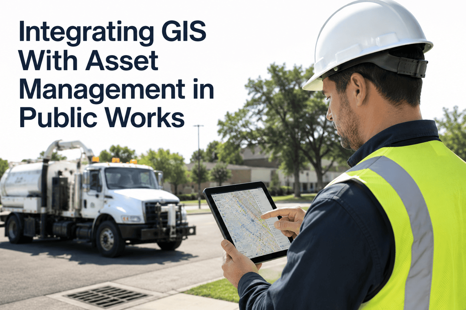
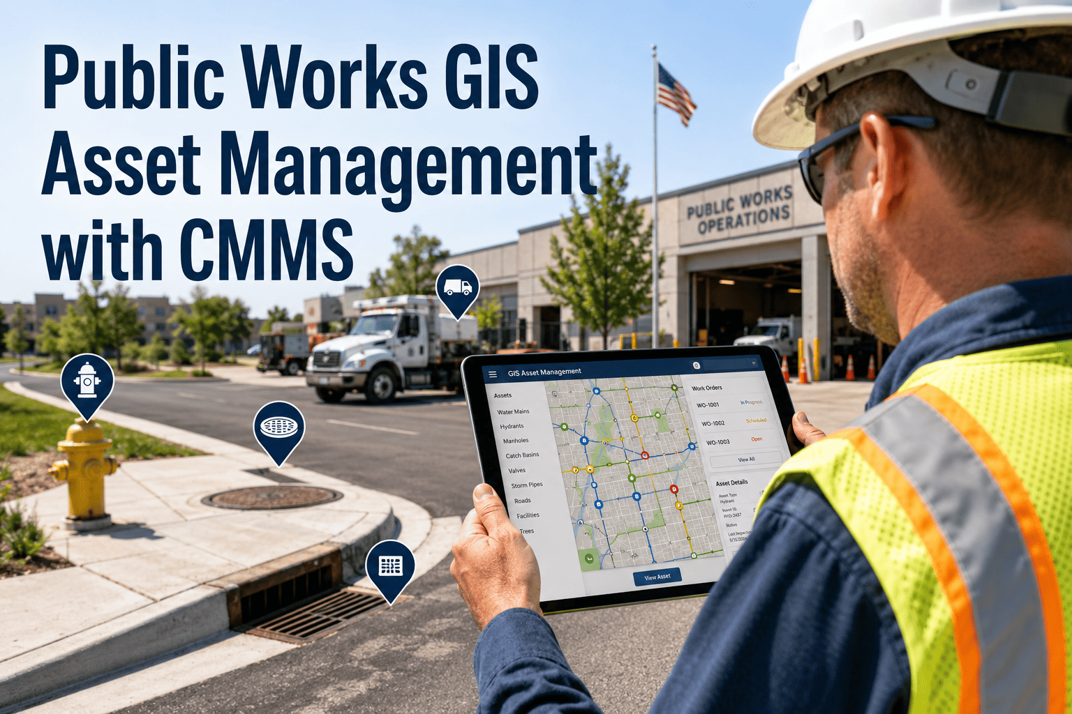
Most public works asset registries are still lists — rows of pipes, pumps, and pavement segments with no idea where they actually sit on the ground. That gap is why crews drive to the wrong block, why capital plans get built on guesswork, and why a single dispatcher ends up as the only person who "knows the map" in their head. GIS integration closes that gap by attaching every asset, work order, and inspection to a real coordinate, so location becomes searchable data instead of tribal knowledge. Oxmaint's GIS-integrated asset management platform connects your existing spatial layers directly to maintenance operations.
GIS & Asset Management
Give Your Asset Registry a Location, Not Just a Name
Most public works teams can list every asset they own but can't see where it sits, what's near it, or how condition changes across the network. GIS integration turns a flat asset list into a living map that drives dispatch, inspections, and capital planning.
Zero
Manual map lookups for field crews
1 Map
Every asset, work order, and inspection in one view
Live
Two-way sync with your existing GIS layers
Mobile
Field-ready maps with no GIS training required
Why a Location-Blind Asset List Holds Public Works Back
Municipalities have already invested years into building accurate GIS layers for roads, utilities, and facilities. The problem is rarely the data itself — it's that maintenance work happens in a completely separate system.
Field Dispatch
Crews Travel Without Context
Without a linked map, technicians can't see nearby assets, prior repairs, or access notes before arriving on site, so simple jobs take longer than they should.
Institutional Knowledge
One Person Holds the Map
When asset history lives in a senior technician's memory instead of a shared system, retirements and turnover quietly erase years of maintenance context.
Capital Planning
Budgets Built on Guesswork
Spreadsheet-based asset lists have no geographic dimension, so directors can't visualize condition clusters or prioritize replacement by neighborhood or network segment.
Cross-Department Work
Duplicate Digging, Duplicate Data
Water, roads, and parks often maintain separate records for assets in the same corridor, leading to repeat excavation and conflicting maintenance schedules.
Asset List vs. GIS-Integrated Asset Management
| Operational Need |
Traditional Asset List |
GIS-Integrated Asset Management |
| Finding an asset in the field |
Address lookup and local knowledge |
Tap the map pin, see full asset record instantly |
| Understanding nearby infrastructure |
Not visible without a separate GIS request |
Adjacent assets and utilities shown on the same map |
| Planning preventive maintenance routes |
Manually grouped by street name or memory |
Auto-clustered by proximity for efficient routing |
| Spotting condition patterns network-wide |
Requires manual cross-referencing of spreadsheets |
Color-coded condition layer visible at a glance |
| Justifying capital requests |
Tables of numbers with no spatial evidence |
Map-based reports showing risk concentration by area |
How Oxmaint Connects Your GIS to Daily Maintenance Work
01
Your existing GIS layers — roads, utilities, parks, facilities — connect directly to Oxmaint's asset registry.
02
Every asset appears as a map pin carrying its full history: inspections, work orders, warranties, and photos.
03
Field crews open the mobile map, find the nearest open work order, and update the record on site.
04
Completed work updates the asset's condition layer automatically, keeping GIS and maintenance data in sync.
05
Managers view condition heat maps and work order density to prioritize next quarter's capital plan.
Location-Aware Maintenance
Stop Managing Assets as a List — Start Managing Them as a Network
Oxmaint layers your maintenance operations directly onto the GIS your team already trusts, so every work order, inspection, and asset record carries real location intelligence.
Condition Heat Map: What Directors See on the Dashboard
Built for Every Asset Type Your Department Manages
Water & Wastewater
Map mains, valves, and lift stations so emergency crews find the right shutoff in minutes, not after a phone call to the GIS office.
Roads & Pavement
Track pavement condition by segment and cluster repaving work by corridor instead of scattering crews across the city.
Stormwater & Drainage
Link catch basins and outfalls to inspection schedules for cleaner compliance reporting on permit-driven maintenance.
Parks & Facilities
Locate playground equipment, HVAC units, and irrigation lines across every site from a single searchable map.
Fleet & Equipment
See where mobile assets were last serviced and route the closest available unit to a new service request.
Capital Planning
Overlay condition, age, and work order density to build replacement priorities backed by spatial evidence.
Public agencies with mature GIS layers frequently under-use them because the maintenance team and the GIS team work in separate systems. The value of location data is only realized once it reaches the technician holding a work order, not just the analyst building a map. Connecting GIS directly to the CMMS is what turns years of spatial investment into faster dispatch and better capital decisions.
Public Works GIS & Asset Management Practice Notes
Municipal Infrastructure Technology Review, 2026
Common Questions About GIS and Asset Management
Do we need to rebuild our GIS layers to use Oxmaint?
No. Oxmaint connects to your existing GIS layers rather than replacing them, so roads, utility lines, and facility boundaries your team already maintains carry over as-is.
Book a demo to see your own layers connected during setup.
Can field staff use the map without GIS training?
Yes. The mobile map is built for technicians, not GIS analysts — tapping a pin opens the asset record, work order, and history without any spatial software knowledge required.
Does updating a work order also update the GIS record?
Closing a work order in the field updates the linked asset's condition and history, keeping maintenance data and spatial records aligned without duplicate entry between systems.
Can different departments see only their own assets on the map?
Yes. Water, roads, parks, and fleet each view their own asset layers by default, while administrators retain a combined cross-department map for planning and reporting.
What happens to our maintenance data if we switch systems later?
Asset records, work order history, and location data remain exportable at any time, so your agency retains full ownership of both the maintenance and spatial data collected.
Start a free trial to explore data export options firsthand.
Location Intelligence for Public Works
Turn Your GIS Investment Into Faster, Smarter Maintenance
Your GIS layers already hold years of spatial investment. Oxmaint puts that data to work every day — guiding dispatch, tracking condition, and backing your next capital plan with a map, not a guess.