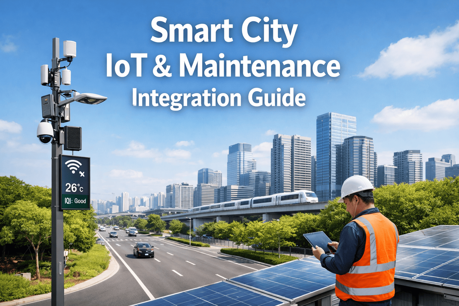
Your maintenance crew just shut down two lanes of a major interstate for a routine visual inspection. Did they catch the sub-surface void forming under mile marker 42? Is the concrete micro-cracking accelerating beyond safety thresholds? Can you prove the structural integrity in an upcoming federal safety audit? If the answer to any of those questions is "I'm not sure," your public agency is risking citizen safety and massive emergency repair costs. Reactive highway maintenance is no longer sustainable. Every mile of roadway your agency oversees must be monitored, analyzed, and verified for structural health. Yet most public works departments still manage this with manual walk-throughs, paper reports, or outdated methods. The gap between traditional visual inspections and what true structural integrity requires is where catastrophic failures happen—but Non-Destructive Testing (NDT) Robotics is changing everything.
75%
Average reduction in manual inspection hours and disruptive lane closures
100%
Of critical sub-surface flaws detected before they cause roadway failures
Zero
Human safety incidents when utilizing remote NDT drones and robots
The Core Capabilities of NDT Highway Robots
Non-Destructive Testing (NDT) utilizes advanced robotics, drones, and sensor arrays to assess the health of highway infrastructure without altering or damaging the roadway. The technology isn't just experimental—it's actively redefining civil engineering standards. The challenge for public agencies isn't recognizing the value of the data. It's capturing it efficiently across thousands of miles of pavement and bridges. Agencies that deploy Oxmaint AI for automated inspections close this gap by integrating drones, robots, sensors, and analytics to automate inspections, reduce downtime, and keep citizens safe.
Ground Penetrating Radar (GPR)
Robotic rovers emit high-frequency radio waves to map sub-surface layers, instantly identifying voids, moisture intrusion, and rebar deterioration completely hidden from the naked eye.
Automated Drone Mapping
UAVs conduct high-speed, high-resolution photogrammetry flights over extensive highway stretches, building 3D digital twins of the infrastructure without disrupting daily traffic flow.
LiDAR Surface Scanning
Laser scanning captures exact topographic measurements of the pavement, calculating rutting, slope grades, and millimeter-level surface deviations that lead to hydroplaning risks.
AI Crack Detection
Computer vision algorithms process millions of surface images in real-time, classifying crack severity, calculating expansion rates, and predicting when a micro-crack will become a critical pothole.
Thermal Imaging Integration
Infrared sensors detect temperature differentials across bridge decks and asphalt, effectively highlighting areas of delamination where layers of material have dangerously separated.
Predictive Maintenance Analytics
Sensor data streams directly into the Oxmaint AI platform, generating predictive models that tell your team exactly where to patch today to prevent a million-dollar rebuild tomorrow.
The True Cost of Traditional Highway Inspections
Relying on human visual assessment is not just inaccurate; it's a massive liability. Moving vehicles pose a constant threat to inspection crews, and lane closures cost the local economy thousands of dollars per hour in delayed transit. Furthermore, manual tracking allows sub-surface degradation to go entirely unnoticed until the road caves in.
Predictive & Safe
NDT robots scan continuously, AI predicts flaws, maintenance is scheduled before structural damage occurs
Impact: Zero public risk. Budgets optimized and asset lifespans extended.
Surface-Level Blindspots
Relying on visual walk-throughs means internal voids and moisture intrusion go completely undetected
Impact: Unseen structural decay leading to unexpected emergency repairs.
Delayed & Disruptive Maintenance
Damage is only found once visible; requires immediate, unplanned multi-lane closures to fix
Impact: High traffic disruption, increased labor costs, and elevated risk to worker safety.
Catastrophic Structural Failure
Undetected delamination and rebar corrosion lead to sudden bridge or roadway collapse
Impact: Severe threat to public safety, massive federal fines, and multi-million dollar rebuilds.
The pattern in every major infrastructure failure is identical: the agency didn't have the sub-surface data until it was too late. This is exactly the problem that Oxmaint AI solves. Departments that sign up for automated NDT analytics build a continuous, predictive health profile of every mile of their jurisdiction.
Automate Highway Inspections Before Your Next Major Repair
Oxmaint AI integrates drones, robots, sensors, and analytics to capture every detail of your infrastructure — automatically detecting anomalies, calculating degradation rates, dispatching repair workflows, and keeping your citizens safe.
How Oxmaint AI NDT Robotics Actually Work
NDT robotics don't just capture raw data—they process it through intelligent software that turns gigabytes of sensor readings into actionable work orders. Here's what a purpose-built infrastructure tracking platform handles that manual spreadsheets and standard photos never will.
Defect Severity Auto-Categorization
Threshold: High/Crit
AI-Powered Anomaly Detection
Every drone flight or robot pass automatically feeds GPR and visual data into the analytics engine. The AI categorizes defects by severity. When a micro-crack transitions into a high-risk structural threat, the system alerts your dispatch team instantly. No manual image reviewing, no missed anomalies, no surprises.
Inspection-to-Maintenance Pipeline
The moment a critical flaw is identified by the NDT sensors, an automated workflow begins. The system creates a geolocated work order, attaches the 3D visual and GPR data for context, and schedules the repair crew. You fix the issue precisely when it needs fixing, maximizing resource efficiency.
Section 4A Health Ledger
Miles Scanned
+15 mi
Surface Cracks Found
-8
Sub-surface Voids
-2
Repairs Verified
+10
Status:
Optimal Integrity
Comprehensive Asset Health Tracking
Every segment of highway is logged with historical scan data, defect records, and maintenance actions—creating a complete digital twin from original paving to current state. This running ledger proves infrastructure compliance, helps secure federal grants, and justifies maintenance budgets with hard data.
Public Agency Highway Dashboard: Total Visibility
When civil engineers and city planners need to make budget decisions, they need instant clarity. A unified dashboard puts every data point from your robotic fleet on a single screen—no compiling separate reports, no guessing roadway conditions. Here's what your command center should surface in real time.
Sub-Surface Integrity Score
94% structural baseline met
Inspection Schedule Compliance
100% of federal mandates tracked
Predictive Resolution Rate
89% of issues fixed before failure
That dashboard isn't a futuristic concept—it's what modern public works management looks like when sensor data flows through a centralized AI platform. Agencies that book a free demo to see the live highway analytics dashboard can watch how GPR maps translate to exact repair coordinates, and how robotic integrations generate the precise reports federal auditors demand.
Traditional Inspections vs. NDT Robotics: The Capability Test
The real test of infrastructure management is what happens when you need to verify safety parameters under tight deadlines. Manual methods consistently fall short—not because the engineers aren't skilled, but because human vision cannot penetrate concrete, and manual processes don't scale. Here's how the two approaches compare.
"Assess the sub-surface health of Interstate 95."
Manual
Requires destructive core drilling at randomized intervals. Leaves massive blind spots between drill sites and weakens the pavement.
NDT Robot
GPR rover continuously scans the entire lane at highway speeds, building a complete 3D profile of the sub-base with zero pavement damage.
"Identify micro-cracking across a 10-mile bridge stretch."
Manual
Inspectors walk the shoulder taking notes and standard photos. Takes weeks, misses hairline fractures, and puts workers at high risk.
NDT Robot
Automated drones fly the route using high-resolution LiDAR and thermography. AI processes the data in hours, highlighting millimeter-level stress points.
"What is the impact on daily traffic flow?"
Manual
Requires extensive safety barriers, multi-lane closures, traffic rerouting, and police presence. Costs thousands and frustrates citizens.
NDT Robot
Robots operate alongside moving traffic or via aerial drones above it. Zero lane closures required for the inspection phase.
Expert Perspective: Why Agencies are Shifting to NDT
"
Every public works department I've consulted with that relies strictly on visual highway inspections is sitting on a ticking time bomb of deferred maintenance. Not because they don't care—because they simply cannot see what is happening underneath the asphalt. A modern highway network experiences millions of tons of variable load. You cannot manage 21st-century traffic stress with 20th-century clipboard inspections. NDT robots and AI analytics remove the guesswork. They tell you exactly where the structure is failing before a single pothole appears. It saves money, it saves time, and most importantly, it saves lives.
01
Eliminate Disruptive Lane Closures
Conduct comprehensive assessments using drones and automated rovers without shutting down vital commuter arteries or creating dangerous work zones.
02
See Below the Surface
Ground Penetrating Radar (GPR) and thermal sensors detect moisture, voids, and rebar corrosion before they escalate into structural collapse.
03
Maximize Public Budgets
Transition from expensive reactive emergency rebuilds to cost-effective predictive maintenance. Fix small issues precisely where the AI indicates, extending pavement lifespans by years.
The infrastructure management teams that keep their cities running smoothly share one trait: they stopped treating inspections as a manual hazard and started treating them as an automated data pipeline. If you're ready to make that shift, book a free demo to see Oxmaint AI NDT solutions in action.
Inspect Deeper. Respond Faster. Protect the Public.
Oxmaint AI integrates drones, robots, sensors, and analytics to revolutionize highway maintenance. Automate sub-surface anomaly detection, eliminate unnecessary lane closures, and transform gigabytes of sensor data into predictive repair schedules. Safety isn't a guessing game. Make it a certainty.
Frequently Asked Questions
What exactly is Non-Destructive Testing (NDT) in the context of highways?
Non-Destructive Testing (NDT) refers to an array of analysis techniques used by civil engineers and public agencies to evaluate the properties of a material, component, or structure without causing damage. For highways, this involves using sensors like Ground Penetrating Radar (GPR), LiDAR, and Thermal Imaging mounted on robots or drones to "see" inside the pavement and bridge structures. It allows agencies to detect voids, cracks, and material degradation without drilling core samples or destroying the roadway.
How does Oxmaint AI integrate drones and robots for maintenance?
Oxmaint AI acts as the central intelligence hub. Physical drones and NDT rovers collect vast amounts of raw sensory data (visual, thermal, radar) from the highway surface and sub-surface. This data is wirelessly transmitted to the Oxmaint AI platform, where computer vision and machine learning algorithms process it in real-time. The system automatically identifies anomalies, categorizes their severity, maps them to exact GPS coordinates, and triggers automated work orders for maintenance crews to execute.
Can NDT robots genuinely replace human inspectors?
NDT robots are not meant to entirely replace civil engineers; rather, they replace the dangerous, tedious, and inaccurate process of manual data collection. A robot can scan miles of highway with millimeter precision in a fraction of the time a human crew could walk it, and it can see below the surface where humans cannot. Engineers and inspectors are then empowered to focus on high-level analysis, verified structural remediation, and strategic planning based on the flawless data the robots provide.
Do these inspections require highway lane closures?
In most cases, no. One of the greatest benefits of NDT robotics is minimizing traffic disruption. Drones fly above the infrastructure, conducting high-resolution mapping without interfering with cars. NDT rovers and vehicle-mounted GPR units are designed to travel at normal highway speeds, collecting data dynamically while flowing with traffic. This eliminates the massive economic and safety costs associated with setting up manual work zones and barricades just for an inspection.
How does this technology affect our public maintenance budget?
Implementing Oxmaint AI and NDT robotics typically results in significant budget savings. By identifying structural decay early (such as a small sub-surface void), agencies can perform cheap preventative maintenance (like localized injection grouting). Without NDT, that void goes unnoticed until it causes a massive pothole or sinkhole, which requires emergency response, traffic rerouting, and highly expensive full-depth reconstruction. Predictive maintenance stretches infrastructure budgets much further than reactive patching.