Usage-Based Maintenance for Highways Assets Using IoT Data

By Taylor on March 12, 2026

usage-based-maintenance-for-highways-assets-using-iot-data

In November 2024, a critical stretch of an interstate highway experienced a sudden, severe pavement buckling event during peak commercial traffic hours. The post-failure forensic investigation revealed what public works engineers had feared: heavy commercial traffic loads combined with unseen sub-surface moisture had progressively destroyed the roadbase over four years. Drone surveys had been conducted annually — the imagery existed — but the thousands of high-resolution photographs from each drone inspection were reviewed manually by a small team that could realistically examine only a fraction of the data. The critical micro-fracture pattern on the highway's lower lanes was captured in separate frames across three annual surveys, but nobody flagged it. Simultaneously, weigh-in-motion IoT monitoring sensors had recorded traffic volumes exceeding design limits by 40% — but that dataset sat in a traffic contractor's proprietary portal, disconnected from the CMMS integration pipeline. The failure triggered an emergency lane closure that cost millions in emergency response and disrupted supply chains. The data to predict this failure existed across three isolated systems. Nobody connected it. A single integrated platform using Usage-Based Maintenance for Highways Assets Using IoT Data would have correlated the traffic load with AI vision defect detection and flagged the highway segment for predictive maintenance long before failure. Schedule a demo to see how Oxmaint eliminates the gap between inspection data and infrastructure action.

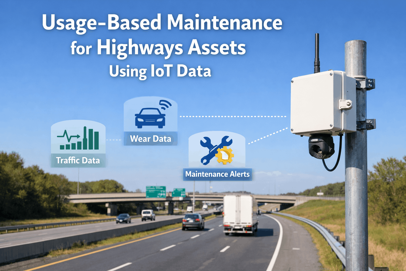
Public works departments and highway operators worldwide face an accelerating government infrastructure crisis: decades-old roads are bearing unprecedented traffic volumes, extreme weather events are accelerating degradation, and the qualified maintenance workforce is shrinking. Traditional calendar-based maintenance schedules and manual windshield surveys cannot scale to meet these demands safely or economically. This page explores Usage-Based Maintenance for Highways Assets Using IoT Data and how it improves highways maintenance for public agencies. Oxmaint AI integrates drones robots sensors and analytics to automate inspections reduce downtime and keep citizens safe. An integrated platform transforms highway maintenance from a reactive exercise into continuous, intelligent asset management. Operators ready to modernise their public infrastructure programmes can start a free trial today.

45%
reduction in emergency highway downtime using usage-based tracking
85%
faster defect identification with AI vision vs. manual windshield surveys
$40M
average cost avoided by preventing major highway reconstruction

Why Disconnected Data Endangers Highways Maintenance

Modern highway asset management generates massive volumes of data from fundamentally different domains. Drones map corridor conditions, robot inspection crawlers assess drainage, IoT monitoring sensors track live traffic loads, and embedded weather stations report freeze-thaw cycles. When each data stream lives in a separate vendor portal, contractor report, or engineering spreadsheet, the compound failure signatures that dictate predictive maintenance remain invisible. A pothole forming on a high-traffic lane, correlated with high moisture readings and excessive heavy-vehicle usage, demands immediate work order automation. The CMMS is the only platform capable of aggregating these streams, building a unified digital twin, and converting usage signals into prioritised maintenance action.

Integrated Highways Maintenance Architecture
Oxmaint CMMS HubAggregate · Correlate · Dispatch
Drone & AI Inspections
Drone inspection workflows; AI vision defect detection; Route planning and mission logs
Digital Twin & SHM
Digital twin models; GIS map overlays; Risk scoring and asset criticality
CMMS / Work Orders
Predictive insights to work orders; Mobile inspections and checklists; Audit trails and documentation
IoT Monitoring
Weigh-in-motion, Traffic Volume, Weather Stations
Robot Inspection
Surface Crawlers, Drainage Scanners, LiDAR
AI Analytics
Usage-based degradation forecasting

The platform architecture connects all critical infrastructure domains into Oxmaint's unified AI correlation engine. This engine identifies usage patterns across IoT traffic loads and drone visual data, predicts cascading structural risks, and populates an asset health dashboard that arrives with full context — drone imagery, digital twin models, GIS map overlays, and sensor trends unified in a single predictive maintenance record. Book a demo to see the integrated platform in action.

Asset Management Maturity: From Calendar to Usage-Based

Most public works departments conduct highway maintenance on rigid calendar schedules — paving every 10 years or inspecting bridges annually. This periodic model ignores actual usage and misses the progressive, traffic-driven degradation that causes unexpected failures. The maturity matrix below helps government infrastructure owners assess their current capability and chart a path toward continuous, usage-based intelligence.

Highway Asset Management Maturity Matrix
HIGHAI & Automation LevelLOW
PREDICTIVE (USAGE-BASED)
Risk scoring and asset criticalityPredictive insights to work ordersDigital twin modelsAI analytics forecasting wear
Maintenance triggered by precise IoT usage & AI vision data
CONNECTED (INTEGRATED DATA)
Drone inspection workflowsCMMS integration & IoT monitoringGIS map overlaysAsset health dashboard
Data visible across public infrastructure domains
DIGITAL (SILOED SYSTEMS)
Drone data in vendor portalsTraffic sensors in isolated SCADANo cross-domain AI analyticsElectronic but disconnected work orders
Each asset tracked independently without correlation
TRADITIONAL (CALENDAR-BASED)
Manual windshield inspectionsCalendar-based pavingPaper-based checklistsReactive emergency patching
Defects discovered by citizen complaints or failures
LOWCross-Domain IntegrationHIGH

Deployment Roadmap: Integrating Drones and IoT

Deploying an integrated drone, robot, and IoT monitoring platform for highways maintenance is a phased programme that builds predictive capability progressively. Successful implementations start with high-traffic corridors, prove AI vision defect detection value, and then expand to full digital twin integration. The following roadmap reflects best practices from public works programmes worldwide.

Usage-Based Highway Platform Deployment Roadmap

Months 1-3
Highway asset inventory & GIS map overlays
IoT traffic sensor deployment
Route planning and mission logs for drones
Discovery Phase

Months 4-6
CMMS integration & asset hierarchy setup
Drone inspection workflows established
IoT monitoring data ingestion
Platform Build

Months 7-10
AI vision defect detection cycles begin
Robot inspection data ingestion
Mobile inspections and checklists deployment
Work order automation testing
Pilot Execution

Months 11-14
Predictive insights to work orders
Asset health dashboard launch
Audit trails and documentation automation
Staff training & adoption programme
Scale Phase

Year 2+
Digital twin models full integration
Usage-based predictive maintenance models
Risk scoring and asset criticality applied
Continuous AI analytics refinement
Optimisation
Start With One Corridor, Scale to Your Entire Network
Oxmaint helps public agencies deploy Usage-Based Maintenance for Highways Assets Using IoT Data in phases — starting with your highest-traffic routes and expanding as cross-domain correlation proves its value. Unify drone inspection workflows and IoT monitoring into coordinated asset management.

Asset Health Dashboard & KPIs

Measuring the impact of predictive maintenance requires tracking both defect detection and the accuracy of usage-based forecasting. The following KPIs represent the metrics that matter most to public works directors, highway engineers, and government infrastructure funding bodies. Schedule a demo to see live dashboards configured for highways maintenance.

Highways Usage-Based Maintenance KPI Dashboard
All Systems: Connected
Defect Detection RateTarget: >95%

96%
AI vision defect detection vs. manual windshield surveys
Usage-Based Work OrdersTarget: >80%

82%
Predictive insights to work orders vs. reactive tasks
Inspection Cycle TimeTarget: <5 days

3.2 days
Drone inspection workflows + AI analytics complete
Worker Safety Incident RateTarget: Zero

Zero
Hazardous lane closures avoided via robot inspection
Audit & ComplianceTarget: 100%

100%
Audit trails and documentation for government infrastructure
Annual Cost SavingsTarget: $2M

$3.8M
Savings vs. traditional calendar paving & emergency patching

Expert Perspective: The Case for Predictive Maintenance

"

We operated our highways maintenance programme the same way for 30 years: calendar-based paving schedules and manual windshield surveys. We thought we were keeping up. When we deployed Oxmaint AI — integrating drone inspection workflows, AI vision defect detection, and IoT monitoring — the platform flagged a major interstate segment that was deteriorating 3x faster than our calendar predicted. The AI analytics correlated heavy weigh-in-motion traffic data with micro-fractures detected by the drones, generating predictive insights to work orders instantly. We shifted our paving schedule and intervened early. The digital twin models and risk scoring proved to the city council that without intervention, we were 12 months from a severe roadbase failure that could have cost $25 million and caused months of traffic gridlock. That single correlation justified the entire CMMS integration investment. We no longer guess when a road needs fixing; the usage data and asset health dashboard tell us.

— Director of Public Works, State Highway Authority
40%
Reduction in deferred maintenance backlogs
12 mo
Advance warning on critical roadbase failures
$25M
Estimated avoided reconstruction costs on one corridor

The convergence of IoT monitoring, drone technology, AI analytics, and CMMS integration represents the most significant advance in public infrastructure management in decades. Public agencies that unify their inspection intelligence today will detect progressive deterioration earlier, satisfy regulators with comprehensive audit trails and documentation, and keep citizens safe from preventable failures. Those who maintain disconnected inspection silos will continue to rely on calendar-based guessing, absorb emergency remediation costs, and bear the liability of inefficient asset management. Start your free trial and begin the transition to Usage-Based Maintenance for Highways Assets Using IoT Data.
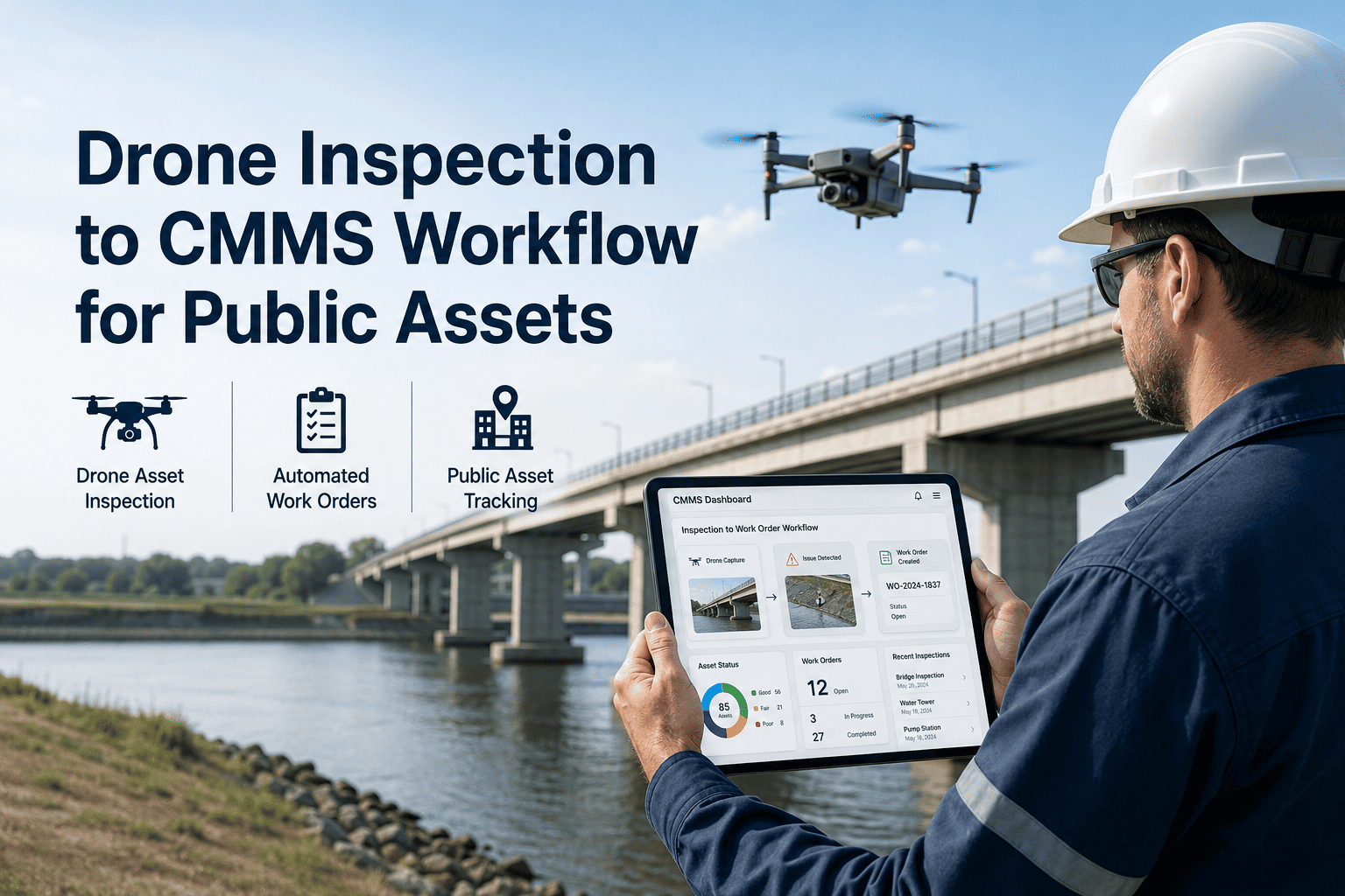
Protect Public Infrastructure With Usage-Based Intelligence
Oxmaint connects drone inspection workflows, AI vision defect detection, IoT monitoring, and digital twin models into a single highways maintenance platform. Leverage predictive insights to work orders, automate mobile inspections and checklists, and prevent the compounding failures that cost millions.

Frequently Asked Questions

What is Usage-Based Maintenance for Highways Assets Using IoT Data?
Unlike traditional calendar-based maintenance (e.g., repaving a road every 10 years), usage-based maintenance relies on actual wear and tear. By integrating IoT monitoring sensors like weigh-in-motion scales, traffic volume counters, and environmental gauges into an asset health dashboard, public works teams can track the exact physical load a highway asset has endured. AI analytics then forecast when the asset will reach a critical threshold, enabling true predictive maintenance before a failure occurs.
How do drone inspection workflows improve AI vision defect detection?
Drone inspection workflows automate the capture of high-resolution aerial imagery across vast highway networks using precise route planning and mission logs. This consistency is vital for AI vision defect detection, which compares current and past scans to identify millimeter-level changes in pavement cracking, guardrail integrity, and drainage blockages. This completely replaces subjective, slow manual windshield surveys with objective, verifiable digital twin data.
What role do digital twin models and GIS map overlays play in asset management?
Digital twin models provide a living, 3D digital replica of your public infrastructure. When combined with GIS map overlays, maintenance teams can visualise exact defect locations, IoT sensor data, and historical repair records on a spatial map. This visual context allows for advanced risk scoring and asset criticality assessments, ensuring that limited public works budgets are directed to the highway segments that need it most based on empirical evidence.
How does this technology enhance CMMS / Work Orders and mobile checklists?
Oxmaint AI’s CMMS integration automatically translates IoT alerts and AI-detected defects into predictive insights to work orders. Instead of manual data entry, the system uses work order automation to dispatch crews with pre-filled mobile inspections and checklists directly to their tablets or smartphones. Crews arrive with GPS coordinates, drone photos of the defect, and the required materials, dramatically reducing downtime and repair cycle times.
Does the platform provide the audit trails and documentation needed for government infrastructure funding?
Yes. Government infrastructure grants and compliance audits require meticulous proof of maintenance actions and asset conditions. Oxmaint automatically generates comprehensive audit trails and documentation by logging every IoT data point, drone survey, and closed work order into an unalterable history. This robust asset management capability simplifies reporting and strengthens applications for federal and state highway funding.

Share This Story, Choose Your Platform!