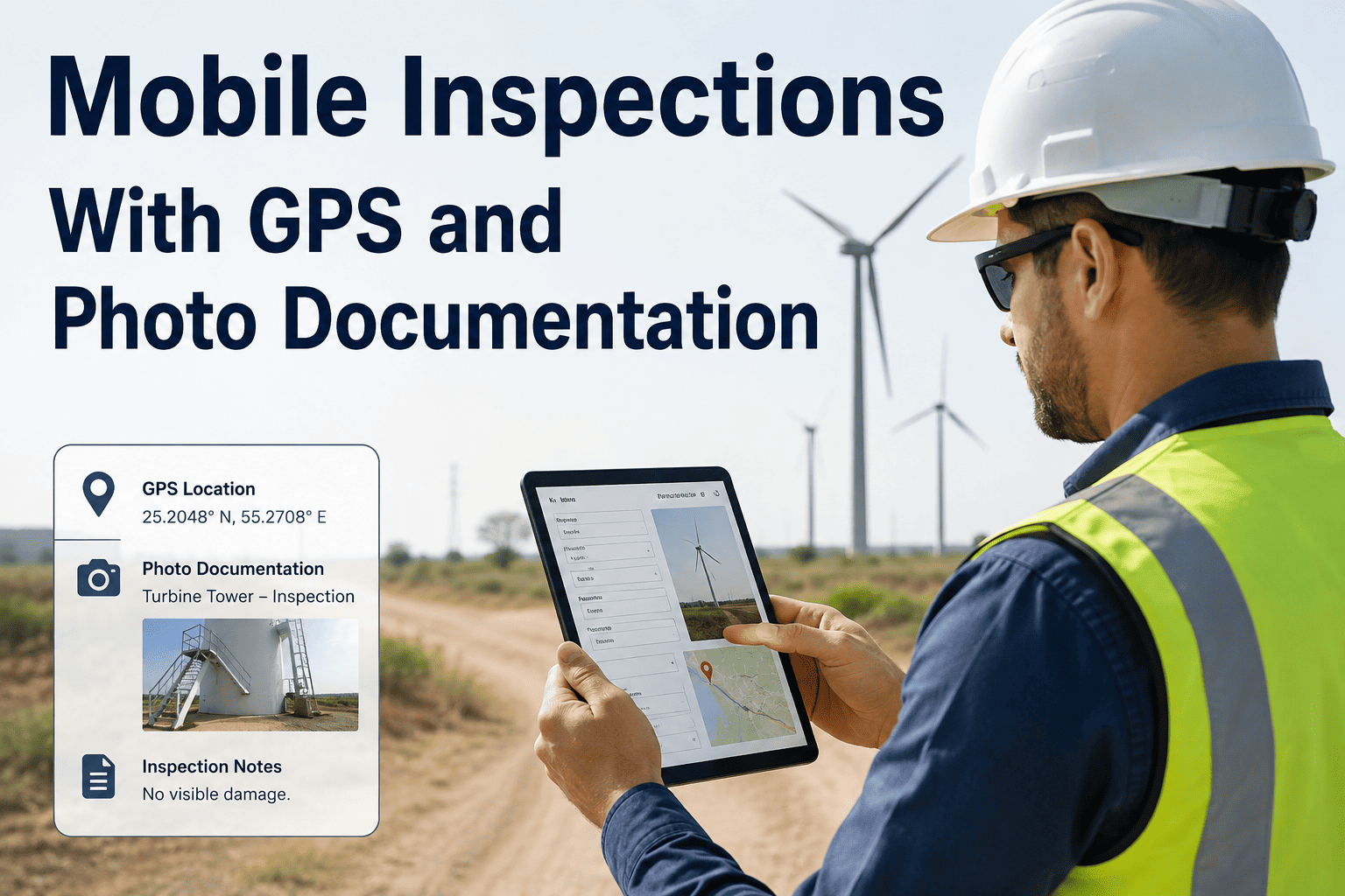
Mobile inspections with GPS and photo documentation replace paper checklists with timestamped, location-verified records that public works teams can actually trust. When a field inspector photographs a cracked culvert or scores a road segment, the GPS stamp and condition data flow straight into your asset register — no re-typing, no lost forms, no disputes about where or when the work happened. This guide covers the full mobile field inspection workflow for public works and municipal teams: photo standards, GPS verification, condition scoring, and how a CMMS turns thousands of inspections into defensible capital plans. If you're ready to see it on your own assets, you can Start Free Trial and run your first digital inspection today.
What if every field inspection arrived in the office already verified, scored, and mapped?
Paper inspection forms lose an estimated 15–25% of field data to illegible handwriting, missing photos, and delayed entry. GPS-stamped mobile inspections close that gap — and give engineers defensible records for audits, grants, and capital planning.
Why paper-based field inspection fails public works teams
A mid-size public works department running 8,000 inspections a year on paper typically spends 2–3 hours of office time for every field hour — transcribing forms, matching printed photos, and chasing down missing signatures. That is data decay in action.
The damage compounds at budget season. When condition data is incomplete, capital plans rest on guesswork — and ISO 55000-aligned asset management explicitly requires reliable, auditable condition information. A digital inspection public works program fixes this at the source: the inspector's phone.
How a mobile inspection app works in the field: 5 steps
A well-designed mobile field inspection workflow takes a trained inspector 4–8 minutes per asset — versus 15–20 minutes with paper plus office entry. Here is the sequence that municipal and government teams run on OxMaint.
Receive the route and asset list
The day's inspections are dispatched to the inspector's phone with a map-ordered route. Each stop shows the asset ID, location, last condition score, and any open work orders — no clipboards, no printed maps.
Verify location with GPS
Opening the inspection form captures a GPS coordinate automatically. If the inspector is more than a set radius (commonly 30–50 m) from the asset, the app flags it — eliminating drive-by inspections and "inspected from the truck" records.
Score condition on a standard scale
Drop-downs and sliders enforce a consistent 1–5 or 1–10 rating aligned to your agency's standard (many public works teams mirror PASER for roads or NBI for bridges). Required fields mean no skipped criteria.
Capture photo documentation
Photos are taken in-app, auto-timestamped, geotagged, and attached to the asset record — never stranded in a personal camera roll. Defect photos can be annotated on-screen before saving.
Sync and trigger follow-up work
On sync, a failed item can auto-generate a work order with the photos and GPS point attached. Supervisors see results the same hour, not the same week — and the condition history updates the asset's lifecycle curve instantly.
Photo documentation and GPS verification standards for defensible records
An inspection record only protects you in an audit, FEMA claim, or liability dispute if it proves three things: where, when, and what condition. These standards make GPS photo inspection records courtroom- and auditor-ready.
| Element | Minimum standard | Why it matters |
|---|---|---|
| GPS capture | Auto-stamped coordinates, accuracy ≤10 m, locked to the record | Proves the inspector was physically at the asset; defeats falsified inspections |
| Timestamp | Server-synced date/time on every photo and form submission | Establishes the inspection sequence for FEMA reimbursement and legal discovery |
| Photo set | 2–4 photos minimum: overview, defect close-up, asset ID/tag | Enough context for an engineer who never visits the site to make a repair call |
| Condition score | Standardized scale (e.g., 1–5) with written criteria per rating | Consistency across inspectors; feeds deterioration models for capital planning |
| Chain of custody | Inspector identity, edit history, immutable original record | Audit-readiness under ISO 55000 and state public-records requirements |
Worked example: a county public works team inspecting 1,200 culverts per year switched from paper to a mobile inspection app with GPS verification. Office processing dropped from 1,800 hours to under 300 hours annually, and when a storm-damage claim required proof of pre-event condition, they produced timestamped, geotagged records in one afternoon — documentation that supported a six-figure FEMA reimbursement.
Turning mobile condition inspections into capital planning data
Individual inspections are tactical; thousands of scored, geotagged inspections are strategic. When every mobile asset inspection feeds a central CMMS, condition trends become budget arguments.
Deterioration curves that update themselves
Each new condition score re-plots the asset on its lifecycle curve. Assets approaching the "rehabilitate now" window surface automatically — the point where a $1 repair still prevents a $6–$10 replacement.
Risk-ranked project lists
Combine condition with consequence of failure (criticality) to produce a defensible priority list. Councils and boards fund what they can see — maps of red-scored assets with photos beat spreadsheets every time.
Grant and compliance evidence on demand
State revolving funds, FEMA, and GASB 34 reporting all reward documented condition programs. Digital inspection government records export in minutes instead of weeks of file-room archaeology.
Closed loop to maintenance execution
Failed inspection items auto-create work orders with photos and GPS points attached. Crews arrive knowing exactly what and where — cutting repeat truck rolls by 20–30%.
How OxMaint powers mobile inspections for public works and municipal teams
OxMaint is an AI-powered CMMS and EAM platform built for exactly this workflow — field inspection, asset history, and capital analytics in one system, not three disconnected tools.
GPS + photo mobile inspection app
Inspectors capture geotagged, timestamped photos and condition scores on any phone — online or offline. Outcome: 100% location-verified records and up to 70% less office processing time.
Auto-generated work orders
Failed checklist items trigger prioritized work orders with the inspection photos attached. Outcome: defects move from discovery to repair crew in hours, and nothing falls through the cracks.
Asset condition analytics
Every score feeds deterioration curves, risk rankings, and budget forecasts. Outcome: capital plans backed by defensible data — teams report 15–25% better allocation of limited rehab budgets.
Audit-ready record keeping
Immutable inspection history, inspector identity, and full edit trails support ISO 55000 alignment, GASB 34 reporting, and FEMA documentation. Outcome: audits answered in minutes, not weeks.
See OxMaint run a GPS photo inspection on your assets
Book a 30-minute demo and we'll walk through a live mobile inspection — from field capture to capital dashboard — using your asset types.
Mobile inspection with GPS and photo documentation: FAQs
What is a mobile inspection app for public works?
It is a phone- or tablet-based tool that lets field inspectors complete checklists, score asset condition, and attach GPS-stamped photos — syncing everything to a central CMMS. It replaces paper forms and eliminates double data entry for municipal and government teams.
How does GPS verification improve inspection data quality?
GPS verification proves the inspector was physically at the asset when the record was created, typically within 10 meters. This deters falsified "drive-by" inspections and gives auditors, FEMA reviewers, and courts confidence that the data is genuine.
Do mobile inspection apps work offline in the field?
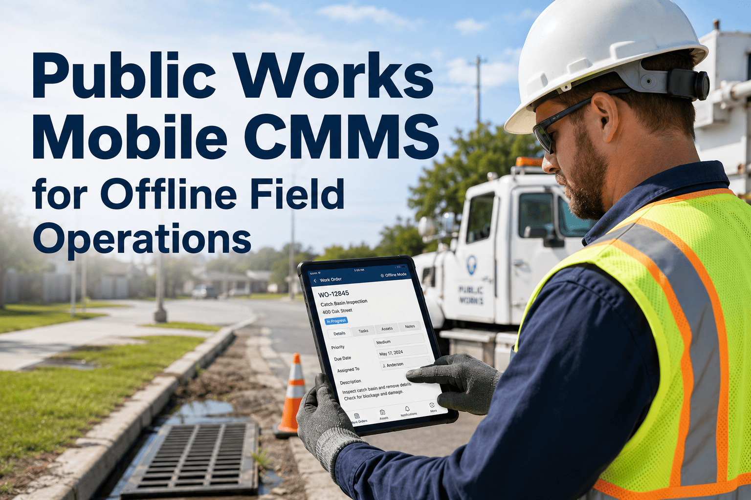
Yes — capable apps like OxMaint store inspections, photos, and GPS points locally when there is no signal, then sync automatically when connectivity returns. Rural routes and basements are no longer dead zones for data collection. You can Start Free Trial and test offline capture on your own routes.
How many photos should each inspection include?
A defensible standard is 2–4 photos per asset: one overview for context, one close-up of each defect, and one of the asset ID or tag. More important than quantity is that every photo is timestamped, geotagged, and permanently linked to the asset record.
How do mobile inspections support capital planning?
Standardized condition scores collected at scale feed deterioration models and risk rankings, turning field observations into a prioritized, photo-documented project list. Agencies using CMMS-driven inspection data typically justify budgets faster and allocate rehab funds 15–25% more effectively — Book a Demo to see the analytics on real data.
Stop losing inspection data to paper. Start capturing it in the field.
Launch your first GPS-verified mobile inspection route this week — and turn every photo and score into capital-planning evidence.
Free 14-day trial · No credit card · Works offline on any phone