Every public works department runs into the same arithmetic problem: three or four repair crews, a 311 queue with hundreds of open pothole reports, and a road network that keeps deteriorating no matter how fast anyone moves. Without a scoring system, the pothole nearest the depot gets patched first while a wheel-swallowing hole on a school bus route waits three more weeks — and that is exactly the kind of decision that ends up in a courtroom after a vehicle damage claim or a child's bicycle accident near a crosswalk. Severity, traffic volume, and school-zone proximity are the three variables that separate departments that repair proactively from departments that repair reactively, and cities are increasingly replacing gut-feel dispatching with structured prioritisation software like OxMaint that scores every reported pothole the moment it is logged.
Score Every Pothole by Severity, Traffic Volume, and School-Zone Risk — Not by Who Called First
A 311 report tells you a pothole exists. It doesn't tell you if it sits on a school bus route carrying forty children twice a day, on an arterial road where a loaded truck rolls over it every two minutes, or if it's three inches deep and about to take out a wheel. OxMaint scores every reported pothole automatically the moment it lands in the queue, so crews repair the highest-risk holes first — not the ones closest to the depot.
Why "First Reported, First Repaired" Fails Every Public Works Department
Most municipal road maintenance divisions still handle pothole repair the way a diner handles a lunch rush: first come, first served. A citizen calls 311, a work order drops into the queue, and a two-person patch crew heads out in ticket order regardless of what is actually sitting in that hole. The problem is arithmetic, not effort — a mid-size city generates hundreds of pothole reports a month and fields only a handful of repair crews. First-come dispatching means a two-inch cosmetic dip reported on Monday gets patched before a six-inch structural failure reported on Wednesday on the road leading to the elementary school, simply because it was called in first.
Pavement crews have long used tiered severity ratings — commonly High, Medium, and Low — based on depth, diameter, and position within the travel lane, because not every pothole carries the same risk of a blown tire, a swerve into oncoming traffic, or a liability claim. Traffic data adds a second dimension entirely: roads carrying a heavier share of loaded commercial vehicles break down measurably faster than quiet residential streets, and cold, wet months can turn the same hole from a nuisance into a hazard within days. A prioritisation model that only asks "when was this reported" ignores both realities — and it is exactly why cities keep facing damage claims for potholes their own records show they knew about for weeks.
The Four-Factor Scoring Model Behind Every OxMaint Priority Score
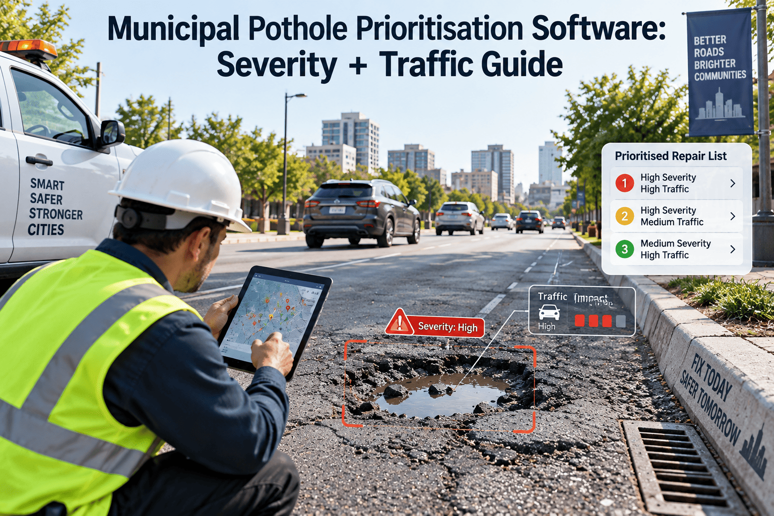
OxMaint does not ask a dispatcher to eyeball severity from a phone photo. Every pothole reported through 311 integrations, field inspections, or a citizen app is auto-scored across four weighted factors the moment it is logged, producing a single priority number that ranks it against every other open report in the system on the same day it is submitted.
Depth & Structural Severity
Every report is measured against High, Medium, and Low thresholds based on depth, diameter, and whether the failure undermines a full travel lane or is limited to the surface layer. Deep, wide potholes on the direct wheel path are flagged for same-day or next-day dispatch automatically.
Traffic Volume & Road Classification
Arterial roads, collectors, and residential streets carry very different daily traffic counts and different shares of heavy commercial vehicles. OxMaint weights each report by road class and estimated average daily traffic, so a hole on a truck route outranks an identical hole on a quiet cul-de-sac.
School Zone & Pedestrian Proximity
Any report that falls within a defined buffer of a school, a marked school bus route, or a high-pedestrian crosswalk is automatically escalated toward the top of the queue, regardless of measured depth, because the exposure to children and pedestrians changes the risk calculation entirely.
Seasonal & Weather Deterioration Rate
Freeze-thaw cycles and heavy rainfall accelerate pothole growth far faster than dry summer weather. OxMaint re-scores open reports on a rolling basis through winter and monsoon periods, so a stable low-severity hole is never left unattended through the exact conditions that would make it dangerous.
Reactive Ticket-Order Dispatch vs. Score-Based Prioritisation
The gap between these two approaches is not philosophical — it shows up directly in average repair time, claim exposure, and how supervisors spend their Monday mornings.
Pothole Priority Scoring Reference Table
This is the kind of criteria matrix OxMaint applies automatically behind the scenes. Departments can adjust the thresholds and weights to match local pavement standards, but the underlying logic stays consistent across every ward and every crew.
| Scoring Factor | Criteria | Priority Impact |
|---|---|---|
| Depth 3 inches or more, full lane | High severity — structural hazard | Dispatch within 24–48 hours |
| Depth 1–3 inches, partial break | Medium severity | Dispatch within 5–7 days |
| Depth under 1 inch, cosmetic | Low severity | Scheduled with routine resurfacing |
| Arterial road, high daily traffic | High traffic weight | Escalates one full priority tier |
| Collector road, moderate traffic | Medium traffic weight | Standard priority queue |
| Residential street, low traffic | Low traffic weight | Standard queue, batched with nearby repairs |
| Within school buffer or bus route | School-zone flag | Auto-escalates regardless of measured depth |
| Reported during freeze-thaw or storm season | Weather multiplier applied | Re-scored weekly until repaired |
| Open over 30 days with prior complaint | Liability escalation flag | Auto-flagged for supervisor review |
| Located on an emergency vehicle route | Access-critical flag | Escalates to same-day dispatch |
Turn Hundreds of Loose 311 Tickets Into One Ranked Repair Queue
OxMaint imports open reports from SeeClickFix, CitySourced, and custom municipal 311 systems, scores each one automatically, and hands crews a ranked, GIS-mapped work list instead of a first-come-first-served printout. No manual triage, no forgotten reports, no guessing which pothole is actually the emergency.
Three Signs Your Pothole Program Needs a Prioritisation Engine
Average Repair Time Keeps Climbing While Crew Headcount Stays Flat
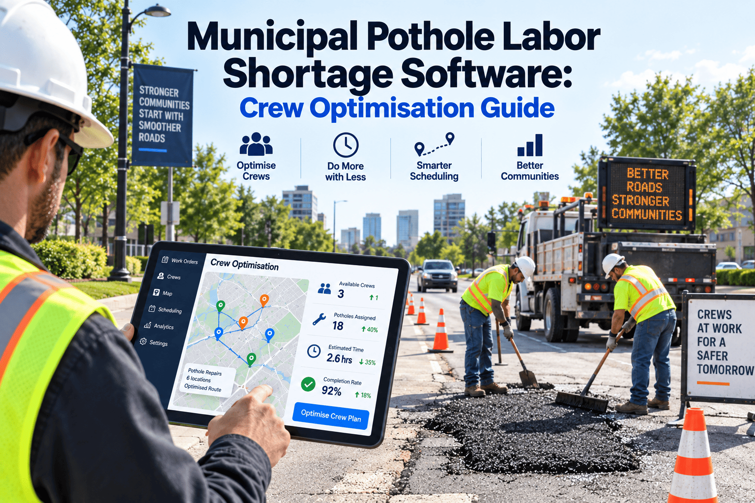
If your queue length is growing faster than your crews can clear it, the issue usually is not staffing — it is that low-risk cosmetic dips are consuming crew hours that should be going to structural, high-traffic failures first.
The Same Street Shows Up in Your Damage-Claim Folder More Than Once a Year
A repeat claim location almost always means a pothole was reported, under-scored, and left open long enough to cause vehicle damage or a fall — the exact pattern a severity-plus-traffic scoring model is built to catch before it repeats.
Supervisors Are Rebuilding Priority Lists in Spreadsheets Every Monday
If ranking today's repair list still depends on one supervisor's manual judgment call each morning, the prioritisation logic lives in a person's head instead of a system — and it disappears the day that person is out sick or changes roles.
What OxMaint Adds to Municipal Pothole Management
OxMaint is built for public works and street maintenance divisions that need every pothole scored, mapped, dispatched, and documented without adding headcount. Here is what changes once prioritisation runs automatically instead of manually.
Automatic Severity + Traffic Scoring
Every pothole entering the system through 311, field inspection, or citizen app is scored the same day on depth, road classification, traffic volume, and school-zone proximity, with no manual review required.
Live GIS Heat Map by Ward and Severity
See every open, in-progress, and closed pothole on a live map filtered by ward, severity, or age, so supervisors can spot clusters, plan resurfacing budgets, and route crews efficiently between stops.
311 & Citizen App Integration
OxMaint connects with major 311 platforms and custom municipal CRM systems, so open pothole reports import with full history and timestamps — no manual re-entry for staff already stretched thin.
One-Click Damage Claim Defense Packets
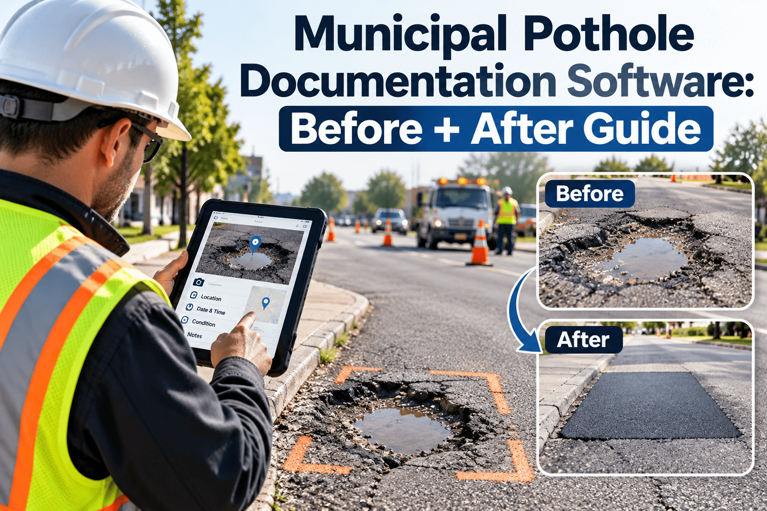
Every closed work order generates a complete packet — before photo, GPS coordinates, repair timestamp, and crew sign-off — so the city attorney can prove a claim was handled within SLA in one click.
Case Study: A Mid-Size City Cuts Repeat Damage Claims After Adding Priority Scoring
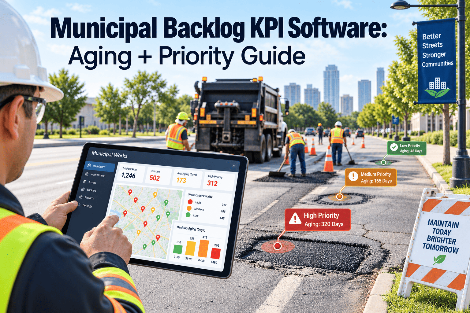
A public works department serving roughly 140,000 residents was averaging eleven days to close a pothole report, with no consistent way to tell which of the 300-plus open tickets actually needed attention first.
Before we scored anything, every report looked the same on paper — a hairline crack and a wheel-swallowing hole sat on the same list, ranked only by call-in date. We had three damage claims in one year on the same arterial stretch because the report kept getting pushed down the queue by newer, smaller tickets. Once we moved to OxMaint, every pothole got scored the day it was reported, school-zone and arterial reports jumped straight to the top, and our average closure time on high-severity holes dropped from eleven days to under three. We have not had a repeat claim on that stretch since.
Municipal Pothole Prioritisation: Frequently Asked Questions
How does OxMaint calculate a pothole's priority score?
Can we import existing pothole reports from our 311 system?
Does a pothole's priority score change if it isn't repaired right away?
How does OxMaint help defend the city against vehicle damage claims?
Do we need GIS expertise on staff to use the ward-level heat maps?
Give Every Crew a Ranked, Defensible Repair Queue Instead of a Guess
Severity, traffic volume, and school-zone risk should decide which pothole gets fixed first — not which report happened to come in first. OxMaint scores every ticket automatically, maps it by ward, and documents every repair so your department stays ahead of both the next hole and the next claim.