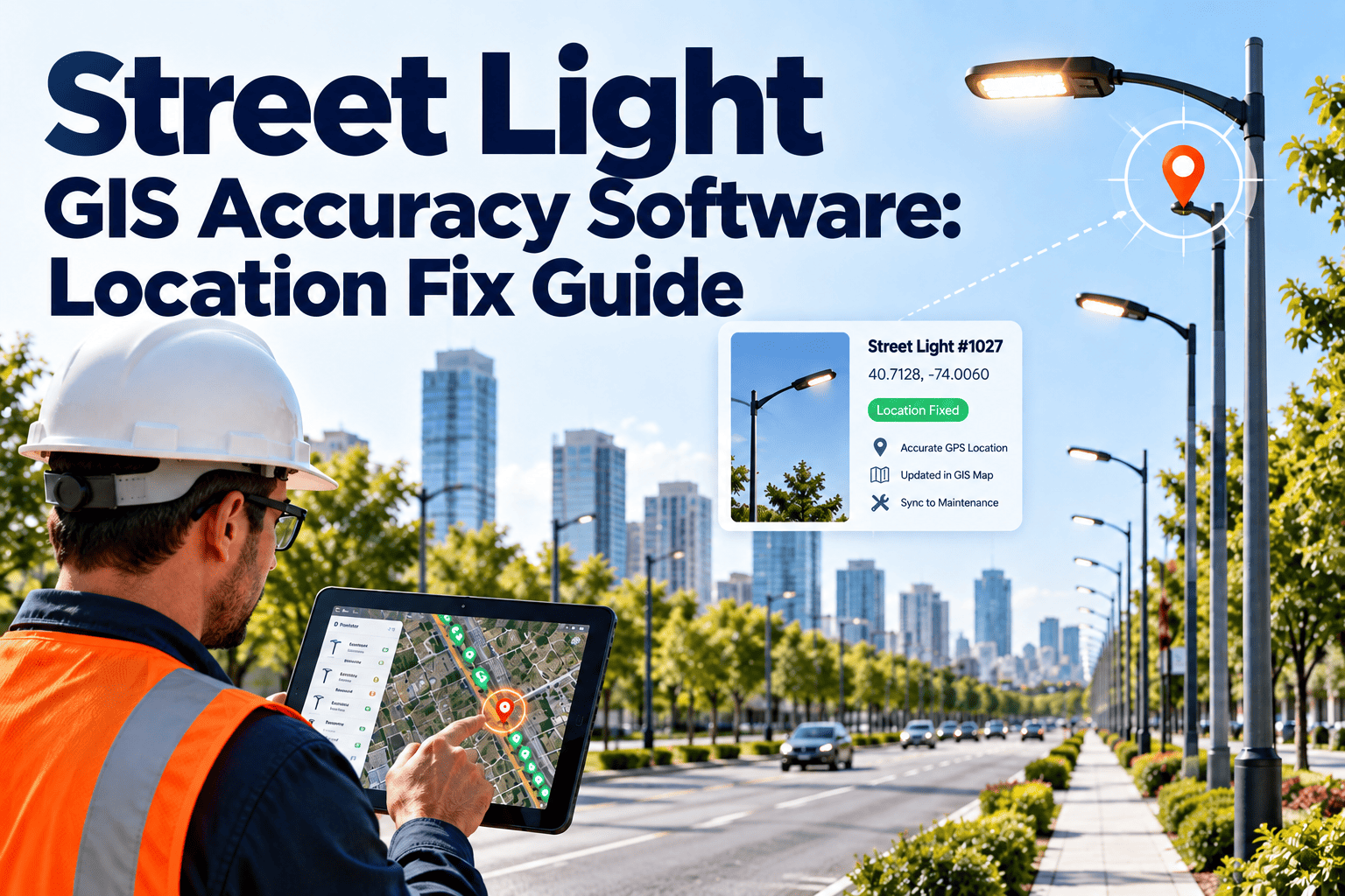
A lamp-out report is only as useful as the location attached to it. When the GIS point for a pole sits half a block away, a lighting crew can spend the first part of a shift searching instead of repairing. Wrong addresses, duplicate poles, and coordinates captured from old drawings all create the same result: repeat visits and slower response. A maintenance system such as Oxmaint CMMS lets crews correct pole locations in the field and keeps every fix tied to the asset record.
Street Light GIS Accuracy Software
Fix pole location errors that slow every lamp-out repair, so municipal lighting crews drive to the right pole the first time.
What a location error costs a lighting program
Slower repairs
Time spent finding the pole is time not spent fixing the fixture.
Repeat complaints
Residents report the same outage again when a crew closes the wrong pole.
Bad reporting
Outage counts by ward or corridor lose credibility when points are misplaced.
Utility disputes
Poles owned by the utility and by the city are hard to separate without clean records.
The search loop crews call a zero hunt
- Crew opens the work order and drives to the mapped point
- No lamp or pole is found at that location
- Crew scans nearby streets, then calls dispatch
- The work order is delayed, and the map is left unchanged
Where street light GIS errors come from
| Source of error | What it looks like | How to correct it |
|---|---|---|
| Legacy CAD or paper plans | Points follow the design, not what was built | Verify and re-pin on the first repair visit |
| Address geocoding | Point lands on a parcel centre or curb line | Replace with a device-captured pole position |
| Duplicate records | Two IDs for one pole after a system merge | Merge and keep the service history |
| Pole replacement | New pole installed, record never updated | Update on the work order at closeout |
| Missing poles | Field asset has no record at all | Add it during inspection or outage response |
| Ownership gaps | City and utility poles share one layer | Add an owner field and filter by it |
A field-first workflow for fixing locations
Report
A lamp-out request arrives with an address or pole number.
Dispatch
A work order is created and linked to the closest recorded asset.
Confirm
The technician checks the pole tag and marks the position on mobile.
Correct
Coordinates and photo replace the old point on the asset record.
Close
The repair and the location fix are stored in one history.
Every repair becomes a chance to improve the map, so accuracy grows through daily work instead of a one-time audit.
Stop sending crews to the wrong corner
Start correcting pole locations on every work order with Oxmaint.
Before and after a location clean-up
Before
- Work orders point to approximate addresses
- Crews phone dispatch to locate poles
- Outage maps show gaps and duplicates
- Utility-owned poles mixed with city assets
After
- Each pole carries a field-verified position
- Mobile map guides the crew to the fixture
- One record per pole with a photo and tag
- Owner field separates city and utility work
Data every street light record should hold
Identity
Pole ID, physical tag number, and any legacy ID.
Position
Device-captured coordinates, street, and nearest cross street.
Fixture
Luminaire type, wattage, controller, and install date.
Ownership
City, utility, or private, plus the responsible feed or circuit.
Evidence
Field photo, capture date, and who verified the location.
How Oxmaint supports municipal lighting maintenance
Asset management
Poles, luminaires, and circuits held as linked assets with history.
Mobile work orders
Crews update location, photos, and repair notes in the field.
Inspections
Night patrols and pole condition checks captured on a standard form.
Preventive maintenance
Scheduled cleaning, control checks, and fixture replacement cycles.
Inventory
Lamps, drivers, and photocells tracked against truck and store stock.
Reporting
Response time, repeat visits, and location corrections by area.
Oxmaint is a maintenance system, so pair it with your existing GIS or export location updates according to your city's data rules.
KPIs that show location quality
Pole not found rate
Work orders where the crew could not locate the asset.
Verified location share
Poles with a field-captured position and photo.
Repeat lamp-out reports
Same location reported again after closure.
Time to first repair
Report to completed repair, split by area.
Street light GIS accuracy checklist
Street light location fix FAQs
Why are street light GIS points often wrong?
Many come from old plans, address geocoding, or migrated data that was never checked in the field.
Do we need a full re-survey first?
Not necessarily. Correcting locations during normal repairs improves the map steadily without a separate project.
Can crews fix locations on mobile?
Yes. In Oxmaint, technicians can update position and add a photo on the work order.
How do we handle utility-owned poles?
Record ownership on each asset so requests can be routed correctly and city crews avoid work they cannot perform.
Can we see this on our own data?
You can book a demo and review a sample lighting workflow.
Make every lamp-out repair start at the right pole
Build a cleaner lighting asset map through the work your crews already do.