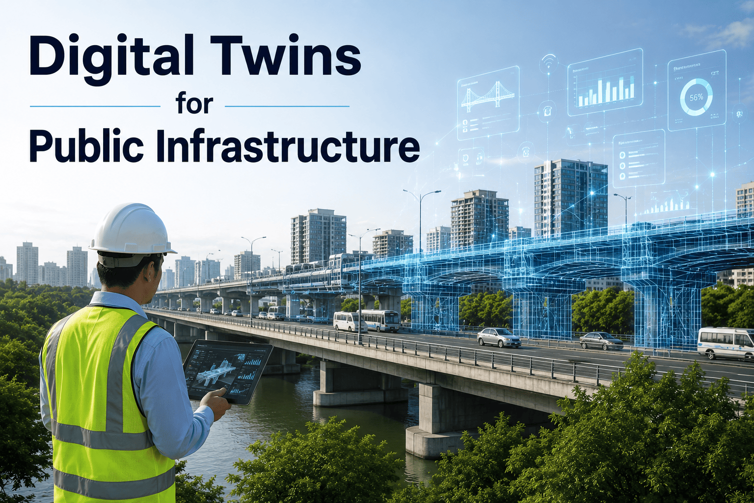
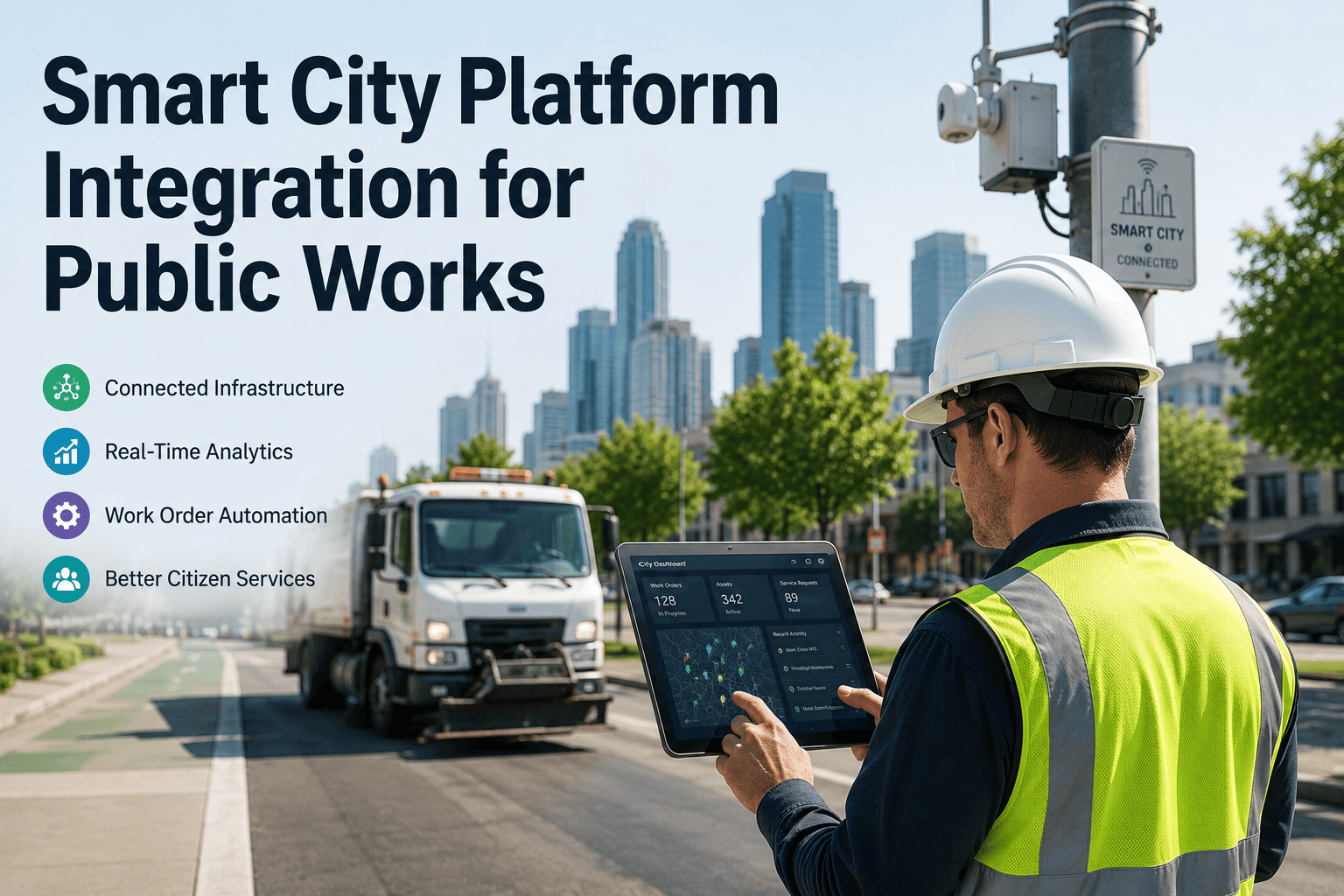
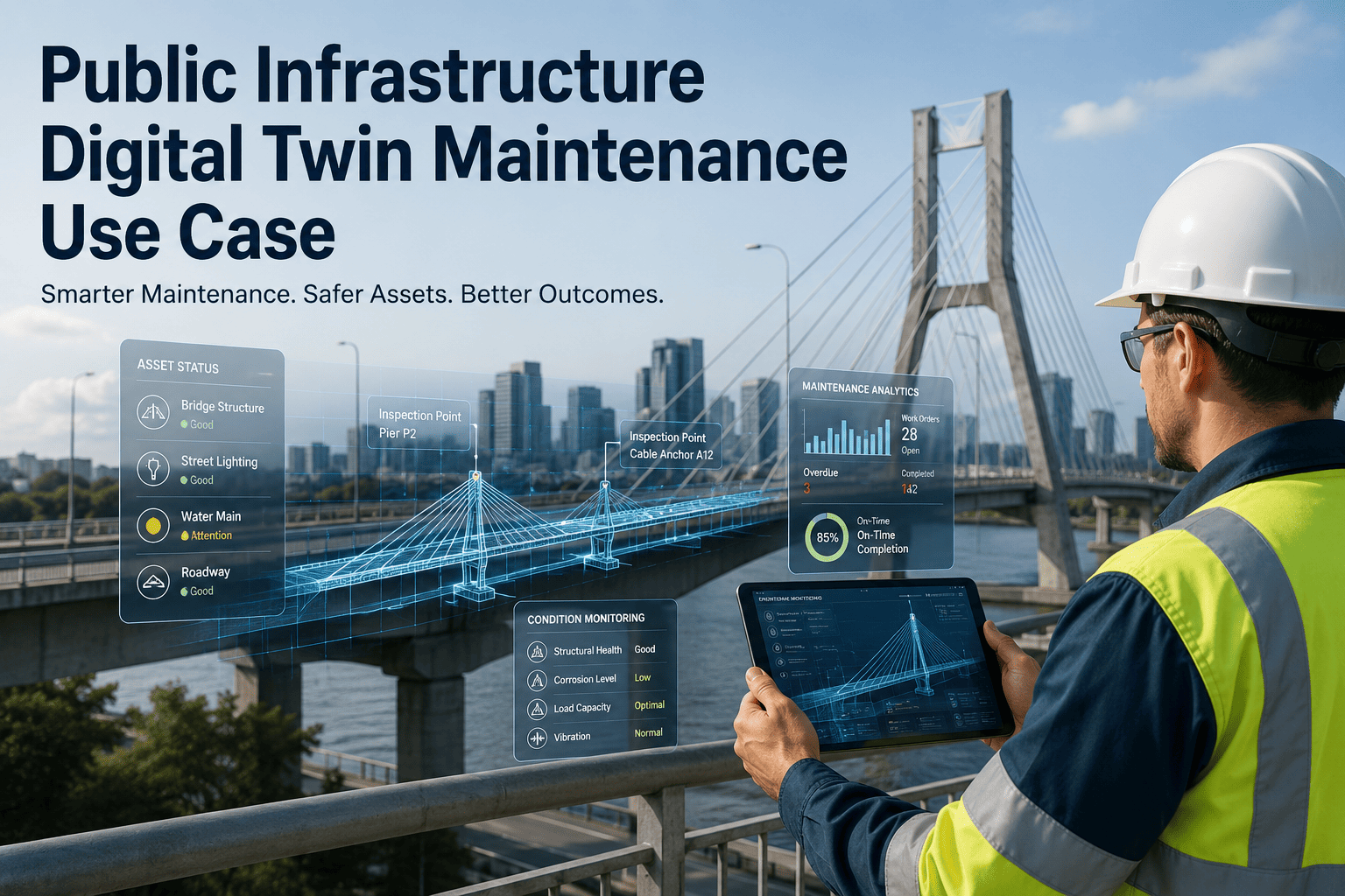
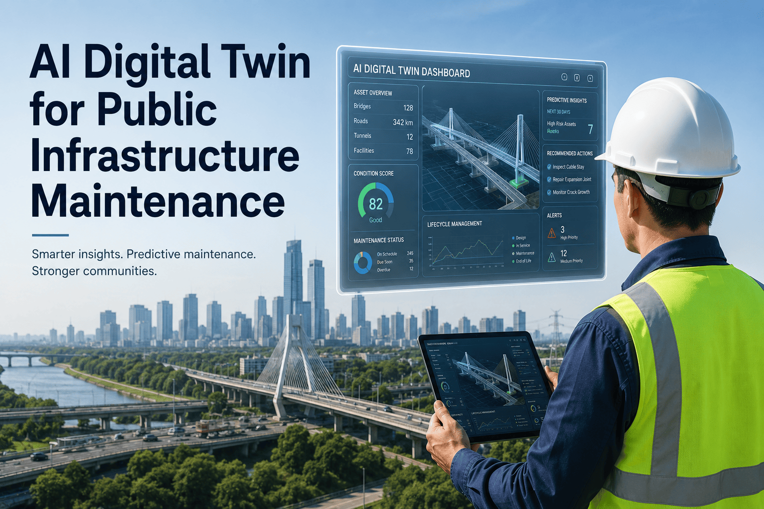
Most infrastructure decisions in local government still get made the hard way — a committee reviews a paper study, a consultant runs a spreadsheet model, and millions get committed to a pipe replacement, a bridge retrofit, or a new pump station before anyone can actually see how it behaves under real conditions. A digital twin flips that order. It is a live, continuously updated model of your water network, roads, or facilities that planners can stress-test before a single dollar is spent — running flood scenarios, population growth, or pump failure conditions in software instead of in the field. Public works departments in cities of every size are now piloting this approach for exactly that reason, and a short walkthrough is the fastest way to see how it fits your asset base.
Public Infrastructure · Municipal Asset Management · Digital Twins
Digital Twins for Public Infrastructure: Simulate Before You Spend
A digital twin connects your utility, transportation, and facility data into one continuously updated model — so your team can test decisions virtually before committing capital in the real world.
How It Works
The Sense–Sync–Simulate–Act Loop
A municipal digital twin is not a static 3D model — it is a running loop that keeps your virtual infrastructure in step with the physical version, then lets planners test outcomes before they happen.
01
Sense
Sensors on pumps, meters, traffic signals, and structural monitors continuously capture live conditions across your asset network.
02
Sync
That field data streams into a virtual model of the asset, keeping the digital version aligned with real-world state at all times.
03
Simulate
Planners run what-if scenarios — a storm surge, a population spike, a pump going offline — against the twin instead of the real asset.
04
Act
Results feed directly into maintenance schedules, capital plans, and dispatch decisions, closing the loop back to the physical system.
Where Twins Pay Off
Four Use Cases Municipalities Are Already Running
Capital Planning & Budget Stress-Testing
Run a proposed pipe replacement, road widening, or facility upgrade against the twin first, so the capital plan reflects tested outcomes instead of assumptions.
Predictive Maintenance for Utility Networks
Pair live sensor feeds with the twin to flag which pumps, valves, or lift stations are trending toward failure before a service interruption occurs.
Flood & Disaster Response Simulation
Model storm surge, drainage capacity, and road closures ahead of an event, so emergency crews know where to stage resources before the water rises.
Public Consultation & Citizen Engagement
Give residents a visual model of a proposed project — a transit line, a park, a road diet — so feedback happens before construction, not after.
Decision Quality
Traditional Planning vs. Digital Twin-Informed Planning
Traditional Approach
Static study commissioned, often 12–18 months old by the time it informs a decision
Assumptions fixed at study time — no way to re-test against new conditions
Failures discovered after construction, when change orders are expensive
Public feedback gathered after design is largely locked in
Digital Twin-Informed Approach
Model stays current with live sensor and GIS data, so scenarios reflect present conditions
Assumptions can be re-tested anytime — new growth projection, new storm pattern
Conflicts and capacity issues surface in simulation, before ground is broken
Residents view and respond to the model early, while design is still flexible
Technology Stack
What a Municipal Digital Twin Is Actually Built From
Data Sources
GIS maps, IoT sensors, SCADA feeds, CMMS work order history, LiDAR scans
Integration Layer
APIs and data pipelines that normalize feeds from separate systems into one structure
Digital Twin Core
The live virtual model plus the simulation engine that runs what-if scenarios
Dashboards, maintenance triggers, capital plan inputs, and public-facing visualizations
Outputs
Already In Use
How Other Public Agencies Are Applying This
| Agency Type |
Infrastructure Modeled |
What It Solved |
| Large-city water utility |
City-wide water distribution and transmission network |
Modeling pipes, valves, and storage to plan maintenance across hundreds of square miles |
| University transportation study |
Urban intersections and traffic corridors |
Using sensor and machine learning data to improve traffic flow and safety |
| European capital city |
Urban development and public spaces |
Letting residents visualize and comment on projects before construction begins |
| Small-town local government |
Water, power, sewage, and traffic systems |
Simulating how population growth would strain existing infrastructure and services |
Getting Started
An Incremental Path, Not a Multi-Year Build
Phase 1
Pick One System
Start with a single network — water distribution or one facility portfolio — and connect its existing data sources rather than waiting for a citywide dataset.
Phase 2
Prove the Loop
Run real scenarios against the pilot twin — a failure event, a growth projection — and compare the output against what actually happened.
Phase 3
Expand by Asset Class
Once the pilot holds up, extend the same integration pattern to the next asset class — roads, facilities, or stormwater — rather than rebuilding from scratch.
Start With One Asset Network, Not the Whole City
A focused pilot is how most agencies avoid turning this into a multi-year project. Start a free trial to see how your existing CMMS and sensor data map into a working model.
The agencies that get value from a digital twin fastest are the ones that resist the urge to model everything on day one. A twin of a single water network, built on data you already have, teaches you more about your infrastructure in three months than a citywide model would in three years. Scope it small, prove the loop works, then let the asset base grow the model — not the other way around.
Director of Infrastructure Planning, Regional Public Works Alliance
14 Years Municipal Infrastructure Technology · GIS & Asset Data Integration Specialist
Frequently Asked Questions
How much sensor infrastructure do we need before starting a digital twin project?
Is a digital twin the same thing as a GIS map or a 3D model?
No — GIS and 3D models are static references, while a digital twin stays continuously updated with live data and can run forward-looking simulations rather than just displaying current state.
Which asset type should a public works department model first?
How does a digital twin connect to our existing CMMS?
Work order history, asset condition scores, and maintenance schedules feed directly into the twin, so simulated outcomes translate into real maintenance actions rather than staying theoretical.
What does a realistic first-year budget for a pilot digital twin look like?
Scoped to a single asset network, a pilot is a fraction of a citywide build — the goal is proving the model against real events before expanding scope.
OxMaint · Digital Twins · Public Infrastructure
Test Your Next Infrastructure Decision Before You Fund It
See how a digital twin built on your existing GIS, sensor, and CMMS data can simulate outcomes before capital gets committed — starting with one asset network, not the whole city.