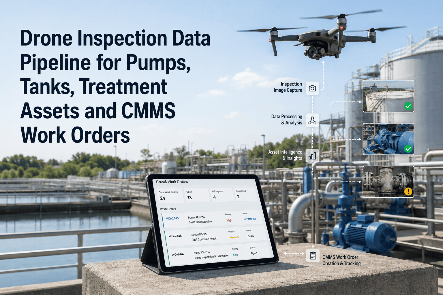
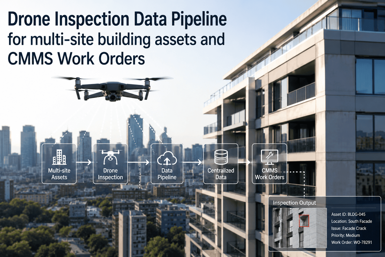
Drone inspections generate some of the richest visual asset data available — precise imagery of rooftops, towers, pipelines, and structures that no ground technician can efficiently reach. But in most programs, that imagery is stored in a folder, reviewed days later, and never makes it into a work order with the asset, GPS location, defect classification, and repair urgency attached. This automation playbook covers how OxMaint closes the drone-to-work-order gap: from flight completion through defect classification, evidence packaging, and triage routing, entirely without manual steps. Infrastructure and energy teams using this playbook reduce post-inspection work order creation time by 87% compared to manual review workflows. To automate your drone program's maintenance output, start a free trial or book a 30-minute drone integration walkthrough.
Drone Inspection · Work Order Automation
Automation Playbook: Drone Inspection Integration in Work Order Triage
A drone inspection that doesn't trigger a work order is just an expensive photo album. This playbook turns flight data into scheduled, evidenced maintenance tasks — automatically.
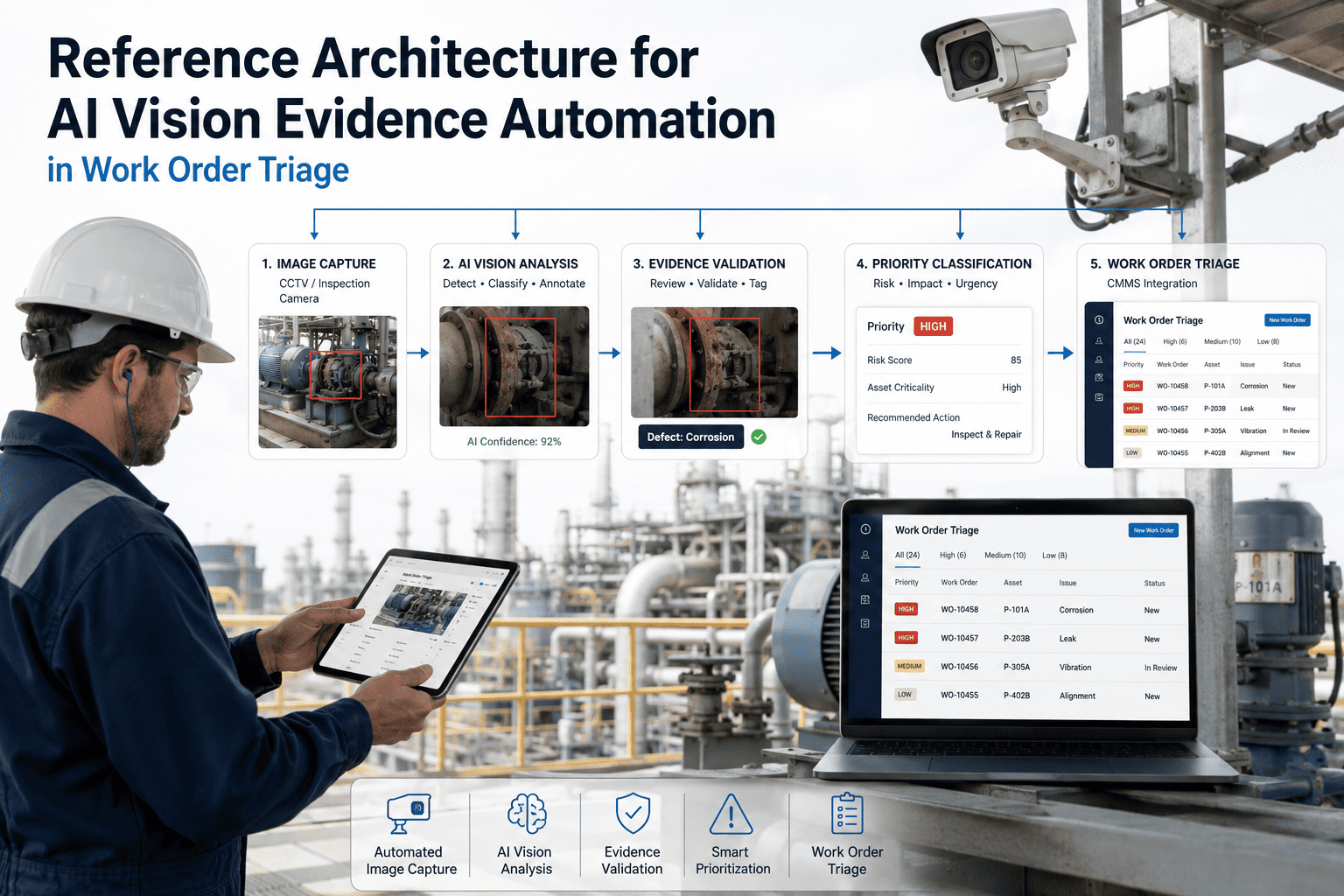
The 6-Stage Automation Playbook
1
Flight Completion Trigger
When a drone mission ends, the flight management system posts a completion webhook to OxMaint with mission ID, asset zone, and raw image manifest.
2
AI Defect Classification
OxMaint's vision pipeline or your integrated drone AI provider classifies each frame: crack, corrosion, delamination, vegetation encroachment, structural gap, or no-defect.
3
GPS-to-Asset Mapping
Each flagged frame is matched to an asset record in OxMaint using GPS coordinates cross-referenced against the asset location database. No manual tagging required.
4
Evidence Package Assembly
Annotated frame, GPS coordinates, defect class, confidence score, flight ID, and asset record are packaged into a structured evidence object.
5
Priority Scoring & Triage
Defect severity, asset criticality, and last maintenance date combine to produce a repair urgency score. High-urgency findings create immediate work orders; others batch into the next scheduled cycle.
6
Work Order Dispatch & Tracking
Routed work orders include the drone evidence package, GPS navigation link, and repair checklist. Completion closes the inspection loop and updates the asset's flight history record.
87%
Faster work order creation vs. manual post-flight review process
3.2x
More defects captured per inspection cycle with AI classification vs. manual review
100%
Of OxMaint drone-triggered work orders include GPS-linked, annotated photo evidence
Automate Your Post-Flight Workflow in Under a Week
OxMaint connects to the major drone platforms and flight management systems with pre-built webhooks. Most teams are live within 3 to 5 days.
Expert Review
Reviewed by an Aerial Inspection & Asset Integrity Engineer
Drone inspection programs typically have strong capture capability and weak action capability. The flight happens, the images are reviewed, a report is written, and then the report sits in an inbox while the defect worsens. The automation step that matters most is the GPS-to-asset mapping in the triage engine — without it, you still need a human to figure out which asset the drone was looking at and which work order template to use. Once that matching is automated, the post-flight review becomes an exception workflow instead of the standard one, which is where the 87% time reduction actually comes from.
Frequently Asked Questions
Does OxMaint require specific drone hardware or AI software to automate triage?
No specific hardware is required. OxMaint receives flight completion events and annotated defect data via webhook or REST API from your existing drone platform or AI classification provider. If your drone system doesn't yet have AI classification, OxMaint can connect to a third-party classification service in the pipeline.
Book a walkthrough and we'll map your specific drone stack to the integration architecture.
How accurate is the GPS-to-asset mapping in the triage engine?
Matching accuracy depends on the precision of GPS metadata in the drone imagery and the quality of asset location data in OxMaint. For assets with precise GPS coordinates (towers, pipelines, roof sections), matching accuracy typically exceeds 95%. For ambiguous cases, OxMaint flags the work order for a brief manual review rather than making an incorrect asset assignment. Asset location data improves over time as historical flights calibrate the location boundaries.
Start a free trial to import your asset location database.
Can drone inspection results be compared against previous flights for the same asset?
Yes. OxMaint stores each drone inspection event in the asset's maintenance history, linking defect findings to the flight that captured them. When a new inspection flags a defect on the same asset, the work order shows whether similar findings have occurred before, how they were resolved, and how long the current defect has been present across flights. This comparison capability is particularly valuable for structural deterioration tracking on bridges, towers, and industrial rooftops.
How does OxMaint handle no-defect flights in the automation workflow?
When a flight completes with no defects above the classification confidence threshold, OxMaint logs the inspection event to the asset record with a clean-inspection timestamp but creates no work order. This keeps the maintenance queue clear of unnecessary noise while still building a complete inspection history. Flight frequency and clean-inspection streaks are visible in the asset's condition dashboard, supporting risk-based inspection interval decisions.
Book a demo to see the full inspection history view.
Every Flight Should End With a Work Order. Automate That.
Connect your drone program to OxMaint and turn post-flight review from a bottleneck into an automated pipeline.